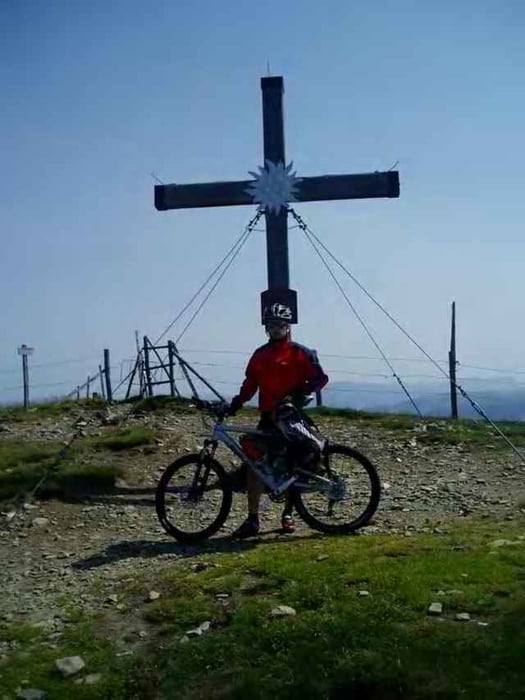
Von Spittal über kleine Anfahrtsumwege auf den Tschirnock (Panoramastrasse) leicht zu befahren, asphaltiert.
Ab ca. 1800HM wirds ein wenig schwieriger, unbefestigter Weg teils sehr gefährlich das ende zum Tschirnock nahezu nur mehr als Schiebestrecke zu bewältigen.
Ein wunderbarer rasanter Downhill
Ab ca. 1800HM wirds ein wenig schwieriger, unbefestigter Weg teils sehr gefährlich das ende zum Tschirnock nahezu nur mehr als Schiebestrecke zu bewältigen.
Ein wunderbarer rasanter Downhill
Túra fotóalbuma
Túratérkép és magasságprofil
Minimum height 526 m
Maximum height 2090 m
Megjegyzések

GPS trackek
Trackpoints-
GPX / Garmin Map Source (gpx) download
-
TCX / Garmin Training Center® (tcx) download
-
CRS / Garmin Training Center® (crs) download
-
Google Earth (kml) download
-
G7ToWin (g7t) download
-
TTQV (trk) download
-
Overlay (ovl) download
-
Fugawi (txt) download
-
Kompass (DAV) Track (tk) download
-
Túralap (pdf) download
-
Original file of the author (g7t) download
Add to my favorites
Remove from my favorites
Edit tags
Open track
My score
Rate


