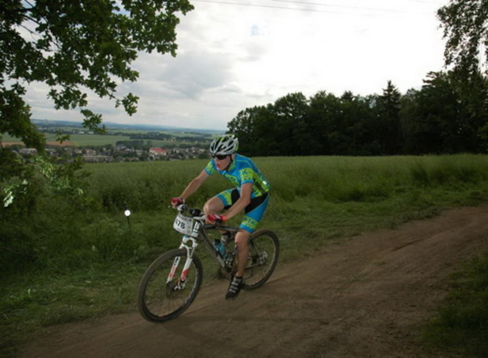
Crottendorfer Rundweg
48 km 2:30 h
Profil:
Wellig, aber wenn man den Ausflug zum Waldeck weglässt, ohne große Herausforderungen
Belag:
Meist Forststraßen oder Waldwege, Trails am Waldeck und Bergab nach Buchholz
Fazit:
Abwechslungsreiche Strecke mit schönen Aussichten, besonders auf Annaberg
Túratérkép és magasságprofil
Minimum height 559 m
Maximum height 1030 m
Megjegyzések

GPS trackek
Trackpoints-
GPX / Garmin Map Source (gpx) download
-
TCX / Garmin Training Center® (tcx) download
-
CRS / Garmin Training Center® (crs) download
-
Google Earth (kml) download
-
G7ToWin (g7t) download
-
TTQV (trk) download
-
Overlay (ovl) download
-
Fugawi (txt) download
-
Kompass (DAV) Track (tk) download
-
Túralap (pdf) download
-
Original file of the author (gpx) download
Add to my favorites
Remove from my favorites
Edit tags
Open track
My score
Rate

