Dies ist die längere Variante von https://www.gps-tour.info/de/account/meine-touren.html?action=view&entity=info_voting&key=177242
Was diese Wanderung bietet:
-
Kirschbaumgärten
-
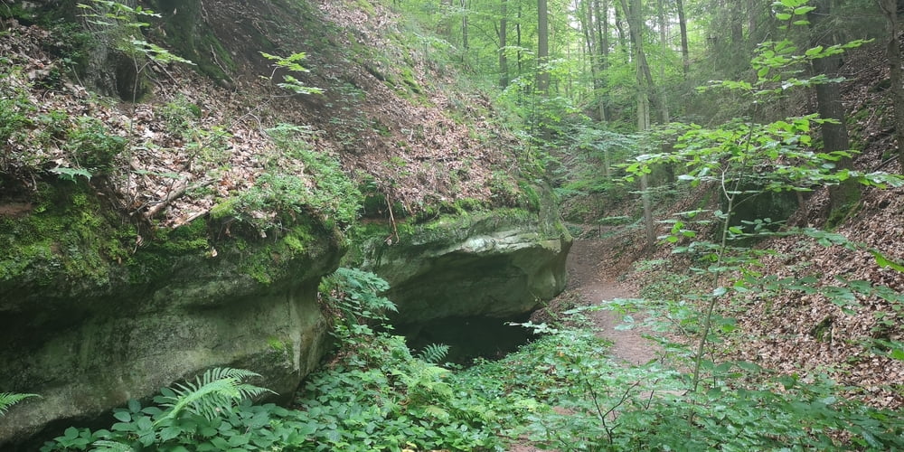
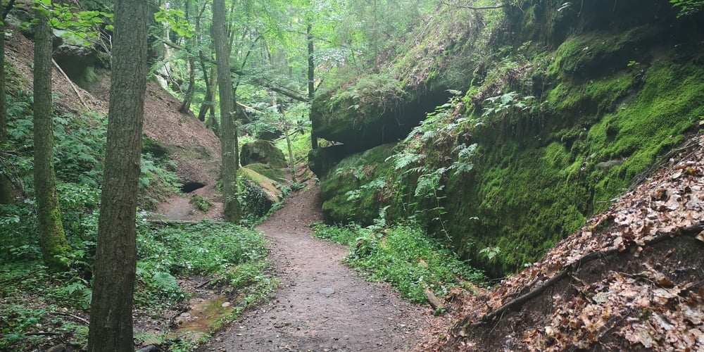
schmale Waldpfade
-
Müllersloch
-
Massendorfer Schlucht
-
Spalt, die Hopfenstadt mir alten Fachwerkhäusern
Túra fotóalbuma
Túratérkép és magasságprofil
Minimum height 363 m
Maximum height 512 m
Megjegyzések

Großer (kostenloser) Parkplatz am Kornhausplatz in der Ortsmitte von Spalt. Hier ist auch das Museum für Hopfen- und Bierkultur.
GPS trackek
Trackpoints-
GPX / Garmin Map Source (gpx) download
-
TCX / Garmin Training Center® (tcx) download
-
CRS / Garmin Training Center® (crs) download
-
Google Earth (kml) download
-
G7ToWin (g7t) download
-
TTQV (trk) download
-
Overlay (ovl) download
-
Fugawi (txt) download
-
Kompass (DAV) Track (tk) download
-
Túralap (pdf) download
-
Original file of the author (gpx) download
Add to my favorites
Remove from my favorites
Edit tags
Open track
My score
Rate


