


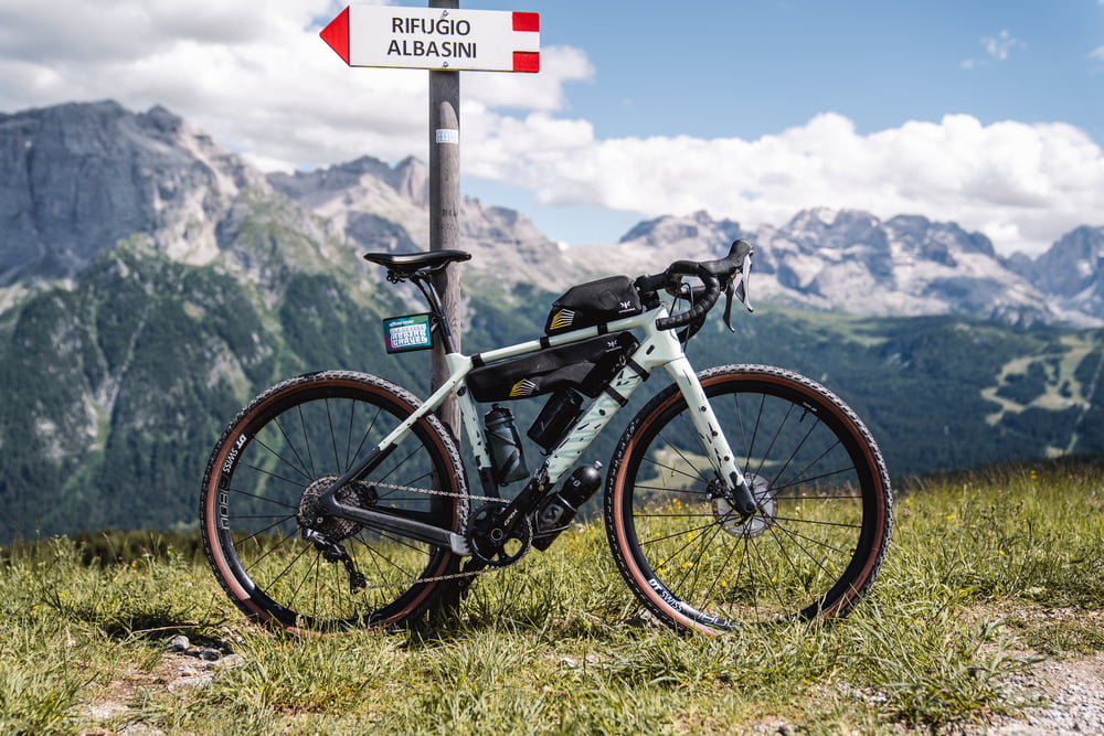
After having covered part of the "Bassa Valle" route, you take the direction of Val Meledrio. The forest begins immediately beautiful and steep but always rideable and never technical, thanks to the trees you will never suffer the heat (there is also a fountain halfway up). There are several breathtaking views of small waterfalls, streams and side valleys until you reach the large viewpoint of Madonna di Campiglio (with fountain).
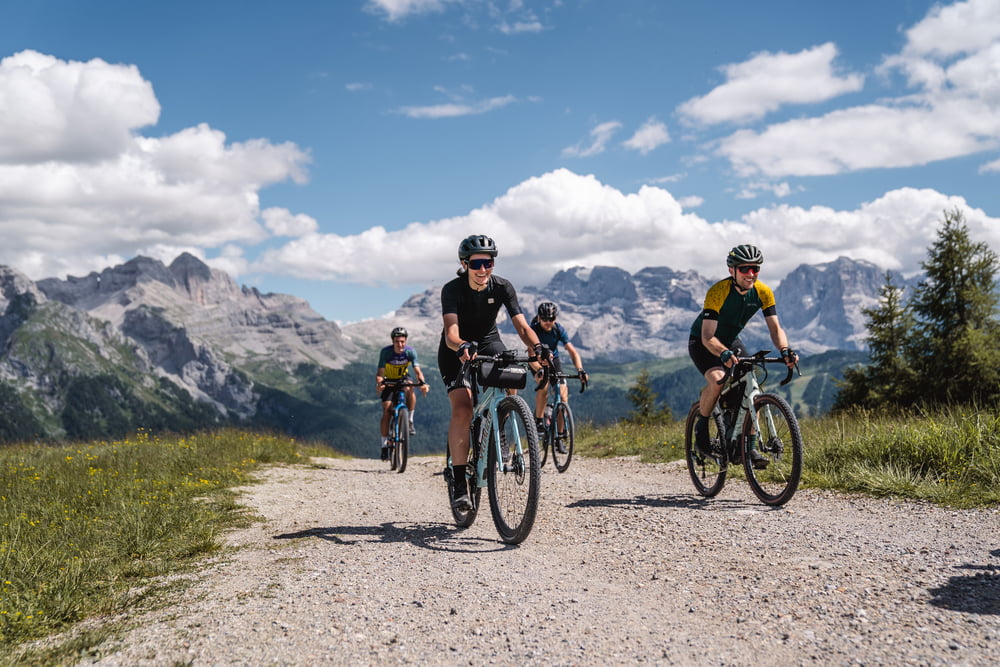
From the viewpoint onwards, the route continues uphill to the summit of Monte Vigo, where the Brenta Dolomites can be admired. There may be short stretches of portage if you lack the training for short but steep climbs. From there, you take a steep descent on a dirt road to Lago dei Caprioli. Returning to asphalt -that for the entire route you almost forget it exists- you reach Ossana and its fountain.
Further information at
https://www.komoot.it/tour/883333695Túra fotóalbuma
Túratérkép és magasságprofil
Minimum height 776 m
Maximum height 2130 m
More about the tour author

|
Helios_Bolzano |
Megjegyzések

For directions head over https://www.visitvaldisole.it/en/how-to-get-here
GPS trackek
Trackpoints-
GPX / Garmin Map Source (gpx) download
-
TCX / Garmin Training Center® (tcx) download
-
CRS / Garmin Training Center® (crs) download
-
Google Earth (kml) download
-
G7ToWin (g7t) download
-
TTQV (trk) download
-
Overlay (ovl) download
-
Fugawi (txt) download
-
Kompass (DAV) Track (tk) download
-
Túralap (pdf) download
-
Original file of the author (gpx) download
More about the tour author
|
|
Helios_Bolzano |
Add to my favorites
Remove from my favorites
Edit tags
Open track
My score
Rate