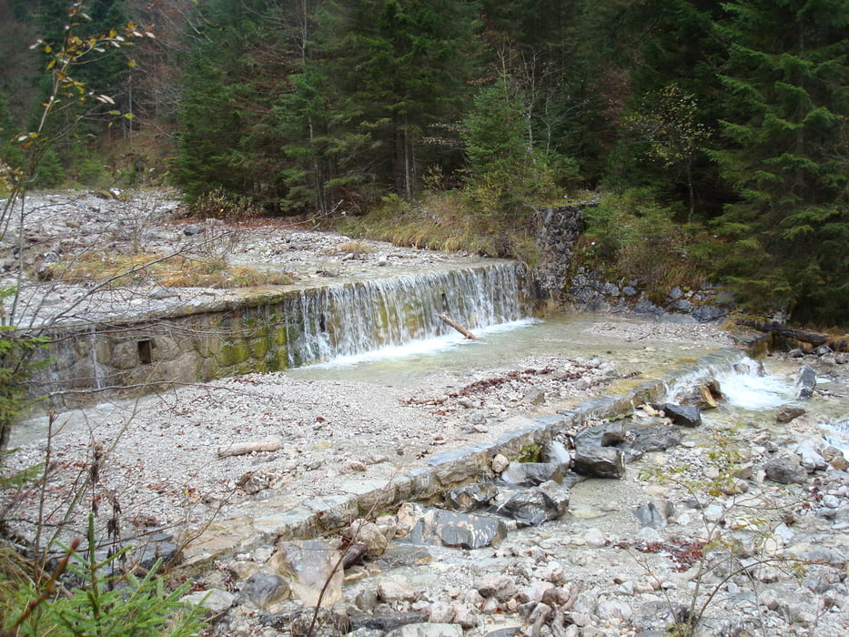
Von Graswang aus Richtung Stürz Diensthütte und dann immer den Kühalpenbach entlang bis zur Kuhalmhütte. Dann geht es über die Forststr. zurück.
Eine Tour aus dem Herbst 2007.
Túra fotóalbuma
Túratérkép és magasságprofil
Minimum height 846 m
Maximum height 1342 m
Megjegyzések
Von Ettal aus fast durch Graswang durch und dann links auf die Parkplätze abbiegen.
GPS trackek
Trackpoints-
GPX / Garmin Map Source (gpx) download
-
TCX / Garmin Training Center® (tcx) download
-
CRS / Garmin Training Center® (crs) download
-
Google Earth (kml) download
-
G7ToWin (g7t) download
-
TTQV (trk) download
-
Overlay (ovl) download
-
Fugawi (txt) download
-
Kompass (DAV) Track (tk) download
-
Túralap (pdf) download
-
Original file of the author (gpx) download
Add to my favorites
Remove from my favorites
Edit tags
Open track
My score
Rate


Sehr reizvoll
Unterwegs gibt es keine Einkehrmöglichkeit, die Kuhalm ist nicht bewirtschaftet. In Graswang ist der Fischerwirt zu empfehlen.