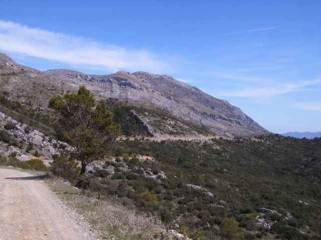
Auf Schotter- und Sandpisten durch die Sierra de las Nieves / Sierra Blanca. Bei "gutem Wetter" sieht man vom Abstecher zur Antena Nieves von der Sierra Nevada bis nach Gibraltar. Von dort oben dann erstmal nur runter!
Vorsicht: Extrem einsame Gegend, keine Einkehrmöglichkeit und nur eine "Wasserstelle" auf der Strecke!
Vorsicht: Extrem einsame Gegend, keine Einkehrmöglichkeit und nur eine "Wasserstelle" auf der Strecke!
Túra fotóalbuma
Túratérkép és magasságprofil
Minimum height 615 m
Maximum height 1785 m
Megjegyzések
Abzweigung an der A-376 zwischen Ronda und Mabella (Vorsicht: In Kurve) Richtung Camping Las Conejeras, dann auf Piste weiter.
GPS trackek
Trackpoints-
GPX / Garmin Map Source (gpx) download
-
TCX / Garmin Training Center® (tcx) download
-
CRS / Garmin Training Center® (crs) download
-
Google Earth (kml) download
-
G7ToWin (g7t) download
-
TTQV (trk) download
-
Overlay (ovl) download
-
Fugawi (txt) download
-
Kompass (DAV) Track (tk) download
-
Túralap (pdf) download
-
Original file of the author (g7t) download
Add to my favorites
Remove from my favorites
Edit tags
Open track
My score
Rate


supertour