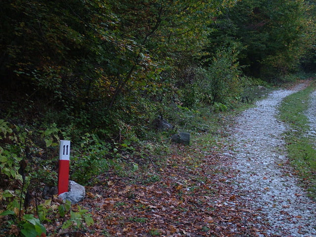
This tour may be considered as stage one of the trans Rhodopean Trail "Rudopia".
It starts from the town of Velingrad in the western Rhodopes and follows the valley of Lepenitsa River all the way up to the high ridge of Batashka Planina near Mt Sutka. From that point the tour descends down to Beglika following the picturesque valley of Semiza River.
The technical difficulty level is rather easy as 40% of the tour are on abandoned asphalt roads.
Further information at
http://www.rudopia.orgTúra fotóalbuma
Túratérkép és magasságprofil
Minimum height 756 m
Maximum height 1659 m
Megjegyzések

GPS trackek
Trackpoints-
GPX / Garmin Map Source (gpx) download
-
TCX / Garmin Training Center® (tcx) download
-
CRS / Garmin Training Center® (crs) download
-
Google Earth (kml) download
-
G7ToWin (g7t) download
-
TTQV (trk) download
-
Overlay (ovl) download
-
Fugawi (txt) download
-
Kompass (DAV) Track (tk) download
-
Túralap (pdf) download
-
Original file of the author (gpx) download
Add to my favorites
Remove from my favorites
Edit tags
Open track
My score
Rate


