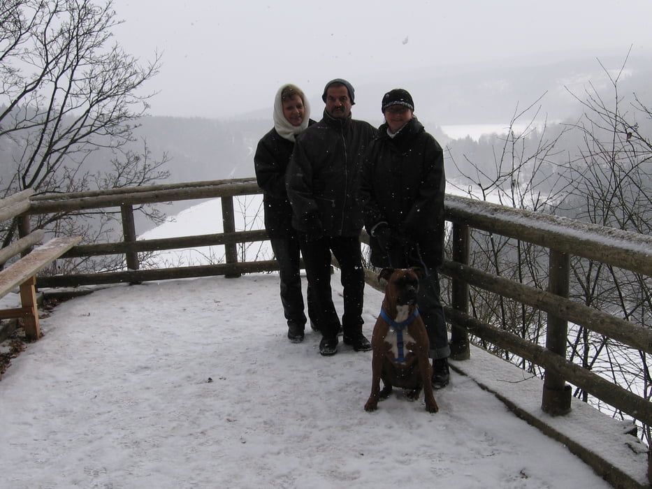
Sehr schöne ca. 7km lange Wanderung zu einem schönen Ausichtspunkt den Heinrichstein. Diese Tour stammt von der Seite www.hinterindien.de. Im Winter ist wegen des steilen Abstieges Vorsicht geboten. Eine genaue Beschreibung finden Sie auf der oben genannten Seite.
Noch einen wichtigen Tipp damit eure Traumtour nicht zur Tortur wird:
Kauft Eure GPS-Geräte beim Fachhändler, nur dieser kann dir die richtige Handhabung eines GPS-Gerätes erklären!!
Noch einen wichtigen Tipp damit eure Traumtour nicht zur Tortur wird:
Kauft Eure GPS-Geräte beim Fachhändler, nur dieser kann dir die richtige Handhabung eines GPS-Gerätes erklären!!
Further information at
http://www.funmotor.infoTúra fotóalbuma
Túratérkép és magasságprofil
Minimum height 282 m
Maximum height 541 m
Megjegyzések

GPS trackek
Trackpoints-
GPX / Garmin Map Source (gpx) download
-
TCX / Garmin Training Center® (tcx) download
-
CRS / Garmin Training Center® (crs) download
-
Google Earth (kml) download
-
G7ToWin (g7t) download
-
TTQV (trk) download
-
Overlay (ovl) download
-
Fugawi (txt) download
-
Kompass (DAV) Track (tk) download
-
Túralap (pdf) download
-
Original file of the author (g7t) download
Add to my favorites
Remove from my favorites
Edit tags
Open track
My score
Rate


