Login

Elfelejtetted a jelszód?

Cookies have to be accepted!
Your browser's cookie functionality is disabled. Please enable this functionality.

Not a member yet?

Register now
Login

Available for registred users only

Log in to use this feature.

Elfelejtetted a jelszód?

Cookies have to be accepted!
Your browser's cookie functionality is disabled. Please enable this functionality.

Not a member yet?

Register now
Filter
Kategóriák
Advanced filters
  • Hosszúság (km)
  • Szintkülönbség
Szűrő elmentése Reset filter

TrackRank

QRCode

Technical data

Hosszúság5,6 km Szintkülönbség732 m Way down460 m Tartam03:00 h:m Dátum23.03.2006
Értékelések Author Vidék Szórakozás Kondíció Technika

Statisztika

1097 Views Értékelések 92 Letöltések átlag
Rate
  • Túralap
  • Megközelítés
  • Letöltések
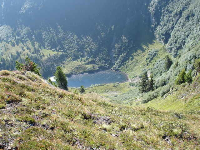
Schöner Wanderweg mit abwechslungsreicher Landschaft und Wegbeschaffenheit! Unbedingt einmal probieren! Manche fahren mit dem Mountainbike bis zur Rottenmannerhütte!!!!

Further information at

http://www.rottenmannerhuette.com/

Túra fotóalbuma

Túratérkép és magasságprofil

  • Open Street Map
  • Google
Minimum height 1296 m Maximum height 2039 m Részletes nézet

More about the tour author

Fix&Foxi

Megjegyzések

Keuly on 08.03.2010

Hütten-Website

neue Website der Rottenmanner Hütte
http://www.rottenmannerhuette.net
N47 29.967 E14 22.864

GPS trackek

Trackpoints
  • GPX / Garmin Map Source (gpx) download
  • TCX / Garmin Training Center® (tcx) download
  • CRS / Garmin Training Center® (crs) download
  • Google Earth (kml) download
  • G7ToWin (g7t) download
  • TTQV (trk) download
  • Overlay (ovl) download
  • Fugawi (txt) download
  • Kompass (DAV) Track (tk) download
  • Túralap (pdf) download

More about the tour author

Fix&Foxi

Share track
Add to my favorites
Remove from my favorites
Edit tags
My score
Rate
Túra: Rottenmann; Stein am Mandl
jelleg: Gyalogtúrázás
Hosszúság: 5,6 km
Evaluated on:
Tartam:
Day(s)
Hour(s)
Minute(s)
Értékelés: Vidék Szórakozás Kondíció Technika