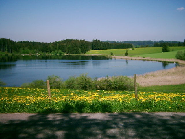
Landschaftliche tolle Rundtour mit Super Bademöglichkeiten.
Meist Wirtschaftswege ohne Verkehr, teilweise geschotterter Feldweg nur wenig rauhe Wege.
Vom Bahnhof Pfronten (Parken) über Pfronten Rehbichel, Oberdolden zum Kögelweiher und dann zum Attlesee. Zurück über Eisenberg und Holz nach Pfronten.
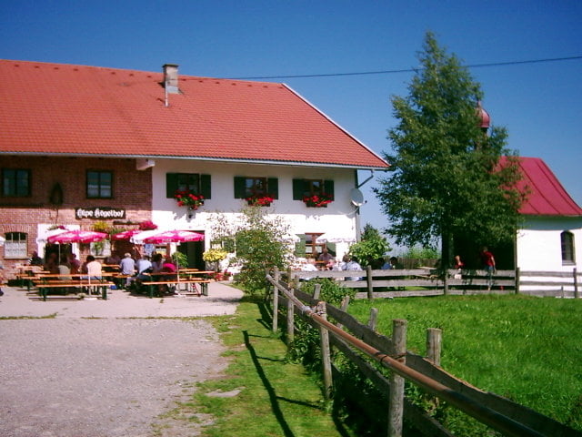
Einkehrmöglichkeit im Kögelhof.
Túra fotóalbuma
Túratérkép és magasságprofil
Minimum height 693 m
Maximum height 938 m
Megjegyzések

Vom Ortseingang Pfronten in Richtung Bahnhof.
Am Bahnhof Pfronten gibt es viele Parkmöglichkeiten.
GPS trackek
Trackpoints-
GPX / Garmin Map Source (gpx) download
-
TCX / Garmin Training Center® (tcx) download
-
CRS / Garmin Training Center® (crs) download
-
Google Earth (kml) download
-
G7ToWin (g7t) download
-
TTQV (trk) download
-
Overlay (ovl) download
-
Fugawi (txt) download
-
Kompass (DAV) Track (tk) download
-
Túralap (pdf) download
-
Original file of the author (gpx) download
Add to my favorites
Remove from my favorites
Edit tags
Open track
My score
Rate


