Login

Elfelejtetted a jelszód?

Cookies have to be accepted!
Your browser's cookie functionality is disabled. Please enable this functionality.

Not a member yet?

Register now
Login

Available for registred users only

Log in to use this feature.

Elfelejtetted a jelszód?

Cookies have to be accepted!
Your browser's cookie functionality is disabled. Please enable this functionality.

Not a member yet?

Register now
Filter
Kategóriák
Advanced filters
  • Hosszúság (km)
  • Szintkülönbség
Szűrő elmentése Reset filter

TrackRank

QRCode

Technical data

Hosszúság4,4 km Szintkülönbség434 m Way down16 m Tartam01:15 h:m Dátum23.07.2009
Értékelések Author Vidék Szórakozás Kondíció Technika

Statisztika

2023 Views Értékelések 191 Letöltések átlag
Rate
  • Túralap
  • Megközelítés
  • Letöltések
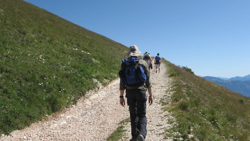
Salita dal rifugio Graziani al Rifugio Altissimo. Veduta completa sul lago di Garda.

Túra fotóalbuma

Túratérkép és magasságprofil

  • Open Street Map
  • Google
Minimum height 1680 m Maximum height 2117 m Részletes nézet

More about the tour author

Slick
Member since 2009

Send private message

Megjegyzések

Da Mori (TN) seguire le indicazioni per l'altopiano di Brentonico, seguire per San Giacomo, San Valentino. Arrivati a San Valentino seguire le indicazioni per Rifugio Graziani.

Da Verona dirigersi a Spiazzi, Ferrara di Monte Baldo, Novezza. Continuare la strada Graziani fino all'arrivo al rifugio Graziani.

GPS trackek

Trackpoints
  • GPX / Garmin Map Source (gpx) download
  • TCX / Garmin Training Center® (tcx) download
  • CRS / Garmin Training Center® (crs) download
  • Google Earth (kml) download
  • G7ToWin (g7t) download
  • TTQV (trk) download
  • Overlay (ovl) download
  • Fugawi (txt) download
  • Kompass (DAV) Track (tk) download
  • Túralap (pdf) download
  • Original file of the author (gpx) download

More about the tour author

Slick
Member since 2009

Send private message
Share track
Add to my favorites
Remove from my favorites
Edit tags
My score
Rate
Túra: Monte Altissimo: Salita dal rif Graziani - solo andata
jelleg: Gyalogtúrázás
Hosszúság: 4,4 km
Evaluated on:
Tartam:
Day(s)
Hour(s)
Minute(s)
Értékelés: Vidék Szórakozás Kondíció Technika