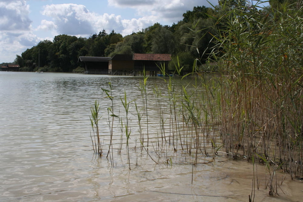
Die Tour führt ausnahmlos über befestigte Wege, hauptsächlich asphaltierte Fahrradwege und kleine, wenigstbefahrene Strassen, aber auch Schotterwege im Bereich Siebentischwald, Mandichosee und entlang des Ammersees.
Die Hinroute führt zunächst vom Hochablass entlang des Lechs zum Mandichosee, für den Rückweg ist eine abgekürzte Variante eingebaut. Beim Kloster St. Ottilien gabelt sich der Hin- und Rückweg zu einem schönen Rundkurs.
Túra fotóalbuma
Túratérkép és magasságprofil
Minimum height 468 m
Maximum height 617 m
Megjegyzések

GPS trackek
Trackpoints-
GPX / Garmin Map Source (gpx) download
-
TCX / Garmin Training Center® (tcx) download
-
CRS / Garmin Training Center® (crs) download
-
Google Earth (kml) download
-
G7ToWin (g7t) download
-
TTQV (trk) download
-
Overlay (ovl) download
-
Fugawi (txt) download
-
Kompass (DAV) Track (tk) download
-
Túralap (pdf) download
-
Original file of the author (gpx) download
Add to my favorites
Remove from my favorites
Edit tags
Open track
My score
Rate


