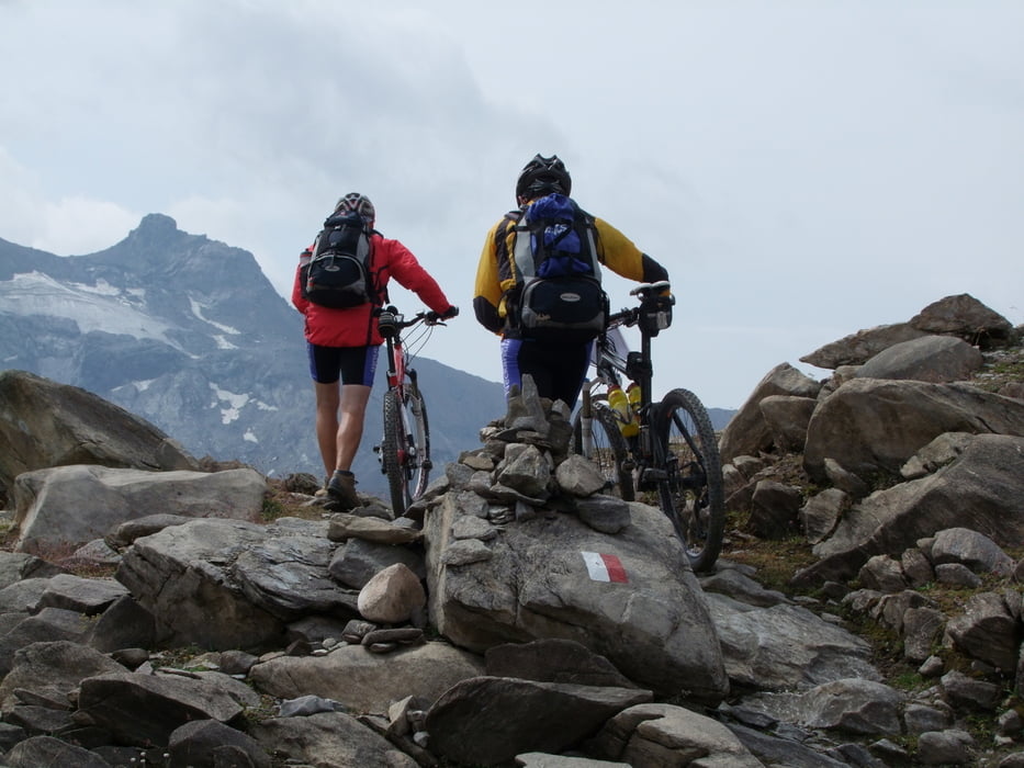
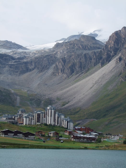
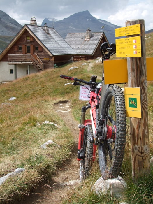
Tignes - Aussois: Tignes (1797m) - Lac de Tignes (2093m, auf Straße) - Val Claret - Vanoise-Nationalpark - Col de Leisse (2698m) - Refuge de la Leisse (2487m) - Ref. Entre Deux Eaux (2120m) - Ref. du Plan du Lac (2364m) - Termignon (1280m) - Adroit - Sardieres - Aussois (1483m)
Túra fotóalbuma
Túratérkép és magasságprofil
Minimum height 1297 m
Maximum height 2750 m
Megjegyzések

GPS trackek
Trackpoints-
GPX / Garmin Map Source (gpx) download
-
TCX / Garmin Training Center® (tcx) download
-
CRS / Garmin Training Center® (crs) download
-
Google Earth (kml) download
-
G7ToWin (g7t) download
-
TTQV (trk) download
-
Overlay (ovl) download
-
Fugawi (txt) download
-
Kompass (DAV) Track (tk) download
-
Túralap (pdf) download
-
Original file of the author (gpx) download
Add to my favorites
Remove from my favorites
Edit tags
Open track
My score
Rate


