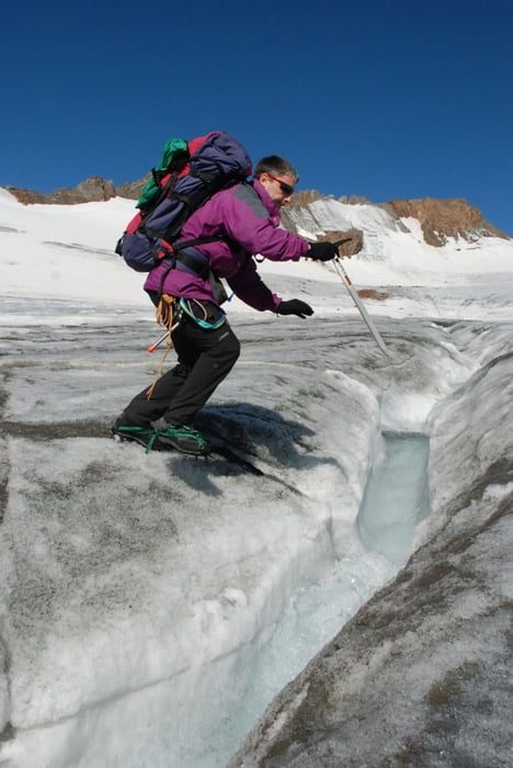
Sehr schöne Hochtour.
wir sind am Freitag nach der Arbeit angereist, haben ein paar Stunden am Bach, unterhalb der Hütte biwakiert, sind noch in der Dunkelheit aufgebrochen und auf die Hochvernagtspitze.
Für Konditionsstarke ist das eine ideale Möglichkeit!
Mittags waren wir wieder unten.
Es besteht natürlich auch die Möglichkeit durchzugehen oder auf der Hütte zu übernachten.
Túra fotóalbuma
Túratérkép és magasságprofil
Minimum height 1843 m
Maximum height 3533 m
Megjegyzések

Ausgangspunkt ist Vent
GPS trackek
Trackpoints-
GPX / Garmin Map Source (gpx) download
-
TCX / Garmin Training Center® (tcx) download
-
CRS / Garmin Training Center® (crs) download
-
Google Earth (kml) download
-
G7ToWin (g7t) download
-
TTQV (trk) download
-
Overlay (ovl) download
-
Fugawi (txt) download
-
Kompass (DAV) Track (tk) download
-
Túralap (pdf) download
-
Original file of the author (gpx) download
Add to my favorites
Remove from my favorites
Edit tags
Open track
My score
Rate


