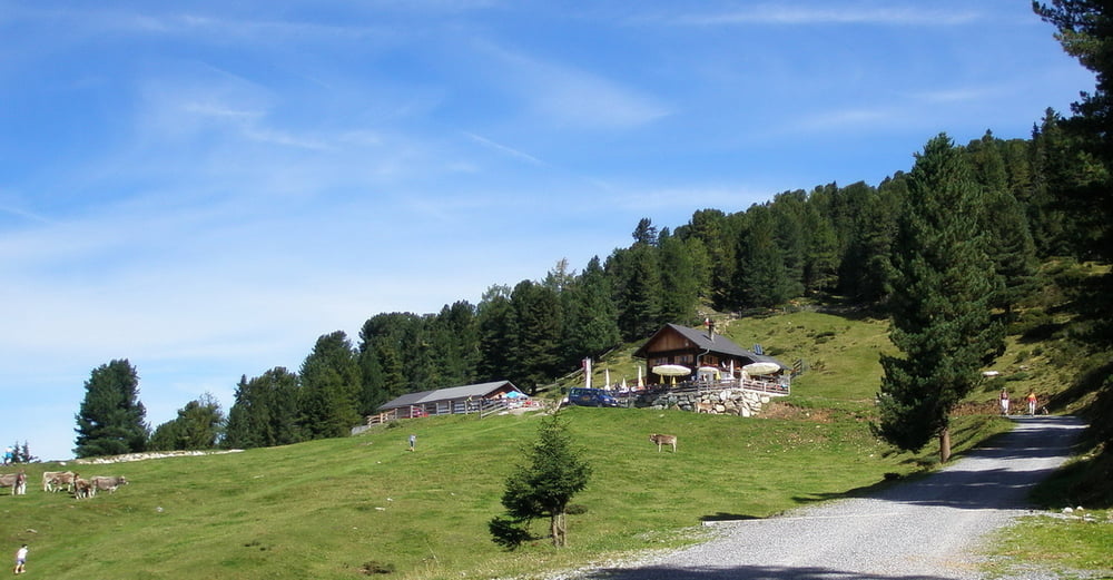
Start in Ötztal Bahnhof. Auf dem Ötztaltrail bis Oetz. Auf der Kühaier Landesstrasse bis Ochsengarten, hier Richtung Haiming bis zum Sattele. Auf der Forststrasse bis zur Feldringalm. Zurück zum Sattele und hinunter ins Inntal nach Haiming, Ötztal Bahnhof.
Túra fotóalbuma
Túratérkép és magasságprofil
Minimum height 697 m
Maximum height 1891 m
Megjegyzések
GPS trackek
Trackpoints-
GPX / Garmin Map Source (gpx) download
-
TCX / Garmin Training Center® (tcx) download
-
CRS / Garmin Training Center® (crs) download
-
Google Earth (kml) download
-
G7ToWin (g7t) download
-
TTQV (trk) download
-
Overlay (ovl) download
-
Fugawi (txt) download
-
Kompass (DAV) Track (tk) download
-
Túralap (pdf) download
-
Original file of the author (gpx) download
Add to my favorites
Remove from my favorites
Edit tags
Open track
My score
Rate


enttäuschend
Pezlei