


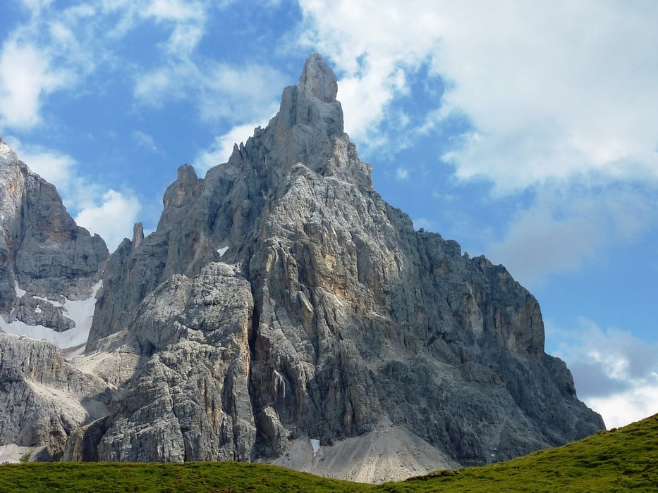
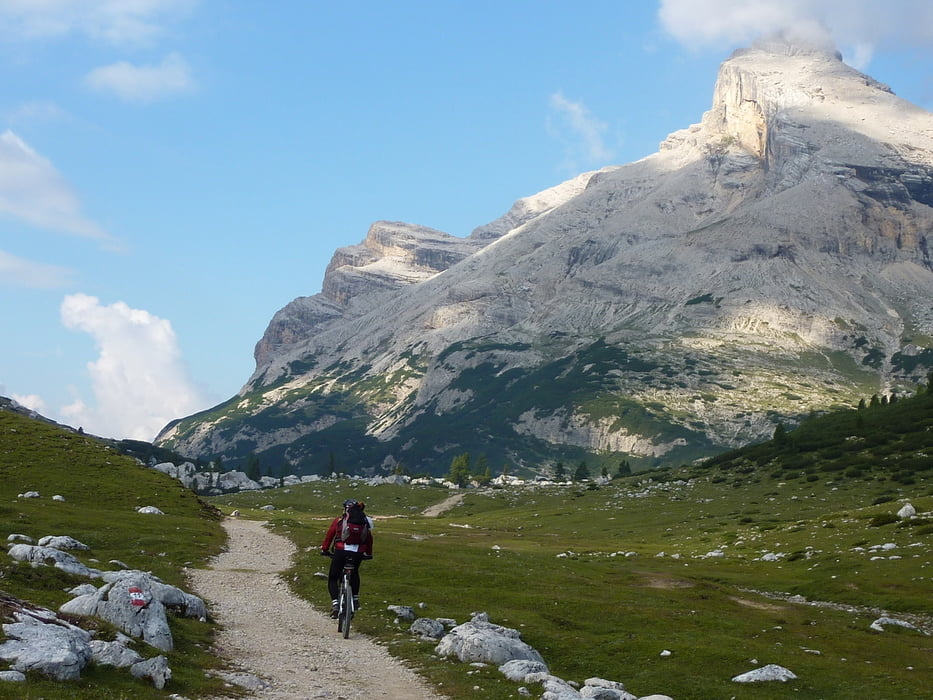
TransAlp von Weer im Inntal durch die Dolomiten an den Gardasee / Tuxer Alpen / Zillertaler Alpen / Dolomiten / Fleimstaler Alpen / Vizentiner Alpen
Strecke Gesamt 480 km / 14.000 hm (ohne Kronplatz)
7 Tagesetappen
- Weer / Weidener Hütte
- Gaiseljoch / Schlegeisspeicher / Pfitscherjoch
- Pfundereroch / Kronplatz / Naturpark Fanes / Rifugio Lavarella
- Limojoch / Col Locia / San Cassiano / Arabba / Bindelweg / Rif. Viel dal Pan
- Passo Pordoi / Moena / Passo Lusia / Passo Rolle / Lago Calaita / Canal San Bovo
- Passo Brocón / Castello Tessino / Grigno / Albergo Marcesina
- Bivio / Campo Gallina / Carbonare / Passo Sommo / Rovereto / Torbole
Túra fotóalbuma
Túratérkép és magasságprofil
Minimum height 60 m
Maximum height 2577 m
More about the tour author

|
Renchtalbiker |
Megjegyzések

Inntalautobahn => Innsbruck Richtung Kufstein bis Weer
GPS trackek
Trackpoints-
GPX / Garmin Map Source (gpx) download
-
TCX / Garmin Training Center® (tcx) download
-
CRS / Garmin Training Center® (crs) download
-
Google Earth (kml) download
-
G7ToWin (g7t) download
-
TTQV (trk) download
-
Overlay (ovl) download
-
Fugawi (txt) download
-
Kompass (DAV) Track (tk) download
-
Túralap (pdf) download
-
Original file of the author (gpx) download
More about the tour author
|
|
Renchtalbiker |
Add to my favorites
Remove from my favorites
Edit tags
Open track
My score
Rate