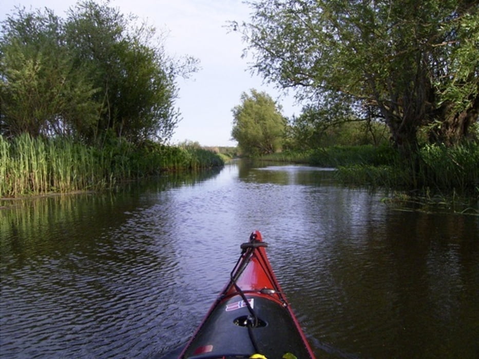
Schönes Urstromtal, in beiden Richtungen befahrbar. Windrichtung beachten. Weiterfahrt bis in den Peenestrom möglich.
Túra fotóalbuma
Túratérkép és magasságprofil
Minimum height -12 m
Maximum height 37 m
Megjegyzések

Autobahn und Landstaße. Wir waren mit mehreren PKW dort und hatten ein Auto am Ziel abgestellt. Der Hafen in Anklam ist ein Luxusanlager mit guter Parkmöglichkeit.
GPS trackek
Trackpoints-
GPX / Garmin Map Source (gpx) download
-
TCX / Garmin Training Center® (tcx) download
-
CRS / Garmin Training Center® (crs) download
-
Google Earth (kml) download
-
G7ToWin (g7t) download
-
TTQV (trk) download
-
Overlay (ovl) download
-
Fugawi (txt) download
-
Kompass (DAV) Track (tk) download
-
Túralap (pdf) download
-
Original file of the author (gpx) download
Add to my favorites
Remove from my favorites
Edit tags
Open track
My score
Rate


