Login

Elfelejtetted a jelszód?

Cookies have to be accepted!
Your browser's cookie functionality is disabled. Please enable this functionality.

Not a member yet?

Register now
Login

Available for registred users only

Log in to use this feature.

Elfelejtetted a jelszód?

Cookies have to be accepted!
Your browser's cookie functionality is disabled. Please enable this functionality.

Not a member yet?

Register now
Filter
Kategóriák
Advanced filters
  • Hosszúság (km)
  • Szintkülönbség
Szűrő elmentése Reset filter

TrackRank

QRCode

Technical data

Hosszúság40,7 km Szintkülönbség207 m Way down208 m Tartam01:41 h:m Dátum17.01.2011
Értékelések Author Vidék Szórakozás Kondíció Technika

Statisztika

152 Views Értékelések 4 Letöltések átlag
Rate
  • Túralap
  • Megközelítés
  • Letöltések

17.1.2011

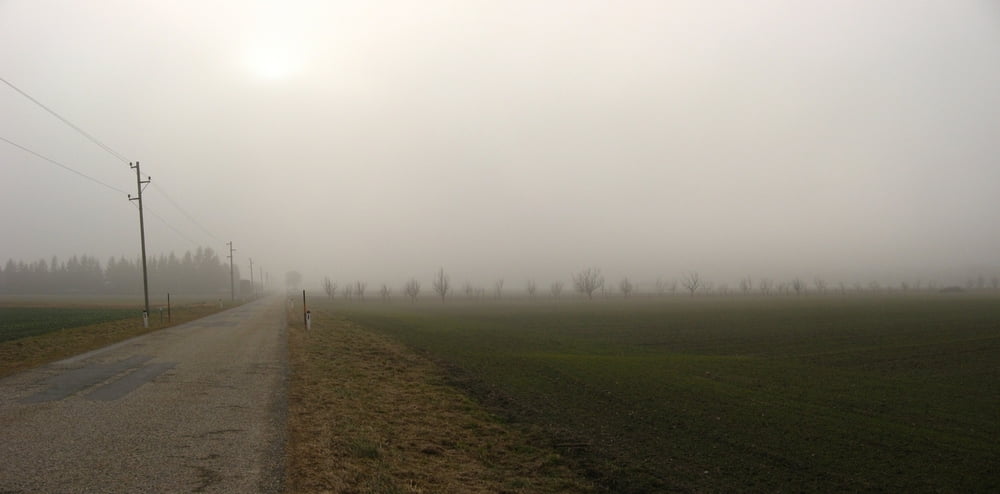
Vytočenie nôh po víkende, pri odjazde krásne svietilo slnko, no postupne sa všetko ponorilo do hmly. Také zvláštne to bolo. V hmle bola aj dosť zima.

Túra fotóalbuma

Túratérkép és magasságprofil

  • Open Street Map
  • Google
Minimum height 68 m Maximum height 184 m Részletes nézet

More about the tour author

tmax
Member since 2007

Send private message

Megjegyzések

BA-Dlhé Diely

GPS trackek

Trackpoints
  • GPX / Garmin Map Source (gpx) download
  • TCX / Garmin Training Center® (tcx) download
  • CRS / Garmin Training Center® (crs) download
  • Google Earth (kml) download
  • G7ToWin (g7t) download
  • TTQV (trk) download
  • Overlay (ovl) download
  • Fugawi (txt) download
  • Kompass (DAV) Track (tk) download
  • Túralap (pdf) download
  • Original file of the author (gpx) download

More about the tour author

tmax
Member since 2007

Send private message
Share track
Add to my favorites
Remove from my favorites
Edit tags
My score
Rate
Túra: 20110117_Vytočenie po víkende
jelleg: Hegyi kerékpár
Hosszúság: 40,7 km
Evaluated on:
Tartam:
Day(s)
Hour(s)
Minute(s)
Értékelés: Vidék Szórakozás Kondíció Technika