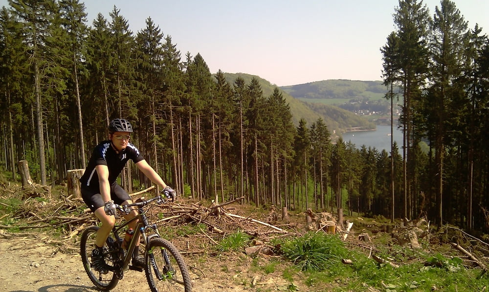
Diese Tour mit 100 km und 1000 Hm führt immer über gut befahrbare Radwege. Straßen werden so gut wie gar nicht befahren. Lediglich bei Ortsdurchquerungen bifindet man sich mal im öffentlichen Verkehr. Die Radwege sind überwiegend asphaltiert. Zwischen Brilon und Diemelsee sind auch ein paar Schotterwege dabei.
Stationen sind:
Startpunkt, Niederense
Möhnesee
Radweg durchs Möhnetal mit alten Eisenbahnbrücken
Brilon
Diemelsee
Adorf
Bad Arolsen, Waldecker Land
Túra fotóalbuma
Túratérkép és magasságprofil
Minimum height 208 m
Maximum height 550 m
Megjegyzések

GPS trackek
Trackpoints-
GPX / Garmin Map Source (gpx) download
-
TCX / Garmin Training Center® (tcx) download
-
CRS / Garmin Training Center® (crs) download
-
Google Earth (kml) download
-
G7ToWin (g7t) download
-
TTQV (trk) download
-
Overlay (ovl) download
-
Fugawi (txt) download
-
Kompass (DAV) Track (tk) download
-
Túralap (pdf) download
-
Original file of the author (gpx) download
Add to my favorites
Remove from my favorites
Edit tags
Open track
My score
Rate


