Login

Elfelejtetted a jelszód?

Cookies have to be accepted!
Your browser's cookie functionality is disabled. Please enable this functionality.

Not a member yet?

Register now
Login

Available for registred users only

Log in to use this feature.

Elfelejtetted a jelszód?

Cookies have to be accepted!
Your browser's cookie functionality is disabled. Please enable this functionality.

Not a member yet?

Register now
Filter
Kategóriák
Advanced filters
  • Hosszúság (km)
  • Szintkülönbség
Szűrő elmentése Reset filter

TrackRank

QRCode

Technical data

Hosszúság34,8 km Szintkülönbség1076 m Way down1054 m Tartam02:43 h:m Dátum17.05.2011
Értékelések Author Vidék Szórakozás Kondíció Technika

Statisztika

246 Views Értékelések 39 Letöltések átlag
Rate
  • Túralap
  • Megközelítés
  • Letöltések
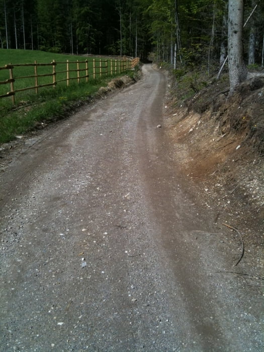
2. Versuch über Hundsmarhof auf die Kaserin, danach weiter Richtung Aichingerhütte über Forstweg und Langlaufloipe zum Alpengarten und Abfahrt über die Villacher Alpenstraße - super Wetter !!

Túra fotóalbuma

Túratérkép és magasságprofil

  • Open Street Map
  • Google
Minimum height 502 m Maximum height 1500 m Részletes nézet

More about the tour author

kateem
Member since 2010

Send private message

Megjegyzések

GPS trackek

Trackpoints
  • GPX / Garmin Map Source (gpx) download
  • TCX / Garmin Training Center® (tcx) download
  • CRS / Garmin Training Center® (crs) download
  • Google Earth (kml) download
  • G7ToWin (g7t) download
  • TTQV (trk) download
  • Overlay (ovl) download
  • Fugawi (txt) download
  • Kompass (DAV) Track (tk) download
  • Túralap (pdf) download
  • Original file of the author (tcx) download

More about the tour author

kateem
Member since 2010

Send private message
Share track
Add to my favorites
Remove from my favorites
Edit tags
My score
Rate
Túra: Kaserin - Alpengarten
jelleg: Hegyi kerékpár
Hosszúság: 34,8 km
Evaluated on:
Tartam:
Day(s)
Hour(s)
Minute(s)
Értékelés: Vidék Szórakozás Kondíció Technika