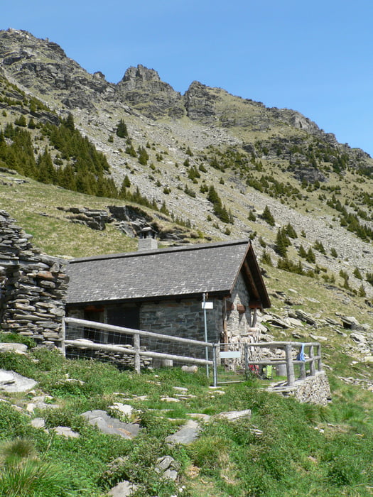
Lasciata l'auto in località Fontana, (Val Pontirone)si prende il segnalato ed erto sentiero che prima attraverso alpeggi e quindi un fitto bosco di conifere in circa due ore porta al Rifugio Biasagn,(incustodito)da dove si gode una bellissima vista.
Il ritorno si effettua per il medesimo sentiero.
Túra fotóalbuma
Túratérkép és magasságprofil
Minimum height 1312 m
Maximum height 2019 m
Megjegyzések

GPS trackek
Trackpoints-
GPX / Garmin Map Source (gpx) download
-
TCX / Garmin Training Center® (tcx) download
-
CRS / Garmin Training Center® (crs) download
-
Google Earth (kml) download
-
G7ToWin (g7t) download
-
TTQV (trk) download
-
Overlay (ovl) download
-
Fugawi (txt) download
-
Kompass (DAV) Track (tk) download
-
Túralap (pdf) download
-
Original file of the author (gpx) download
Add to my favorites
Remove from my favorites
Edit tags
Open track
My score
Rate


