Login

Elfelejtetted a jelszód?

Cookies have to be accepted!
Your browser's cookie functionality is disabled. Please enable this functionality.

Not a member yet?

Register now
Login

Available for registred users only

Log in to use this feature.

Elfelejtetted a jelszód?

Cookies have to be accepted!
Your browser's cookie functionality is disabled. Please enable this functionality.

Not a member yet?

Register now
Filter
Kategóriák
Advanced filters
  • Hosszúság (km)
  • Szintkülönbség
Szűrő elmentése Reset filter

TrackRank

QRCode

Technical data

Hosszúság8,2 km Szintkülönbség647 m Way down598 m Tartam00:00 h:m Dátum12.06.2011
Értékelések Author Vidék Szórakozás Kondíció Technika

Statisztika

791 Views Értékelések 33 Letöltések átlag
Rate
  • Túralap
  • Megközelítés
  • Letöltések

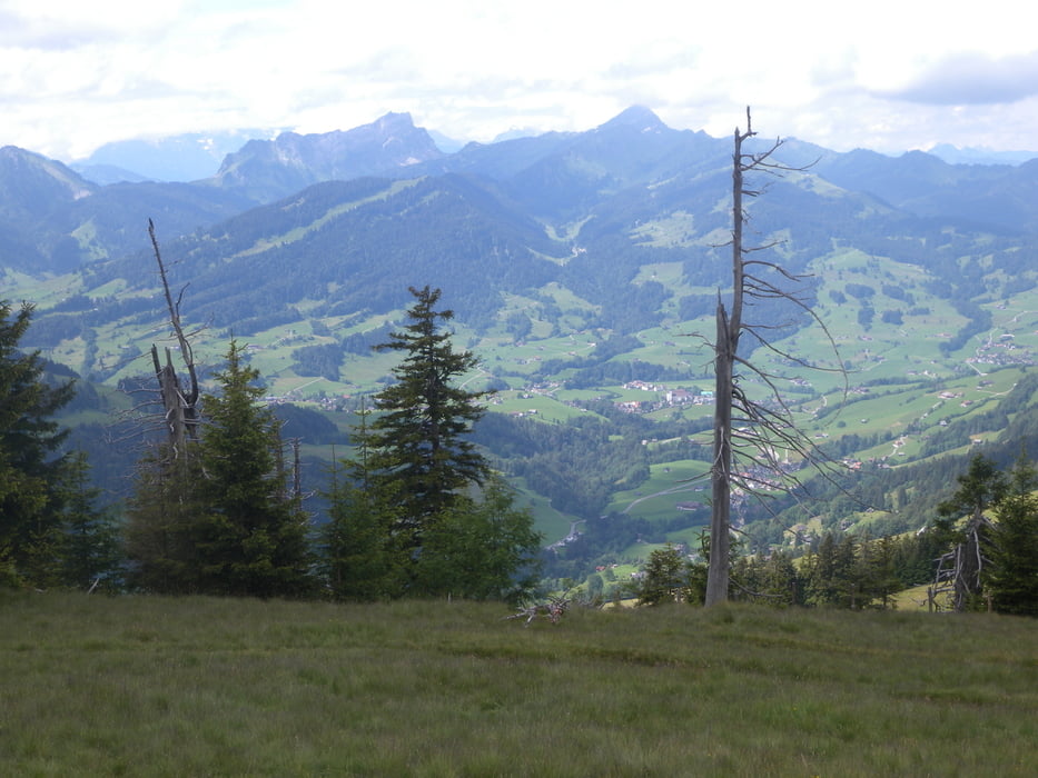
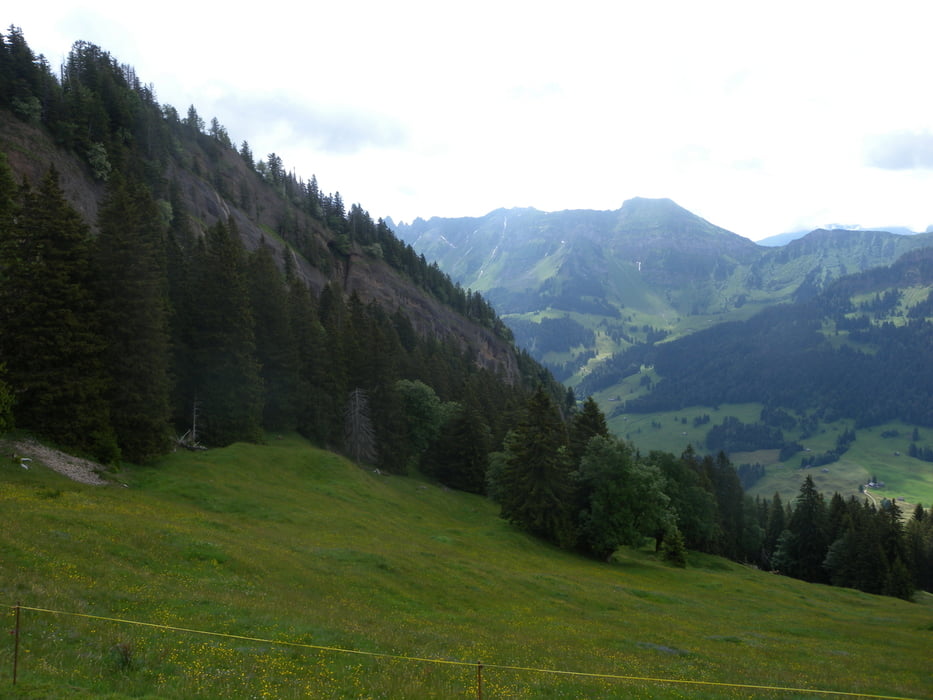
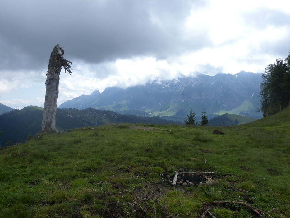
Leichte, kurze Bergwanderung zum schönen Aussichtspunkt Hinterfallenkopf.

Aufstieg gut zu finden, Abstieg teilweise schlecht markiert.

Túra fotóalbuma

Túratérkép és magasságprofil

  • Open Street Map
  • Google
Minimum height 889 m Maximum height 1520 m Részletes nézet

More about the tour author

gerosa
Member since 2009

Send private message

Megjegyzések

GPS trackek

Trackpoints
  • GPX / Garmin Map Source (gpx) download
  • TCX / Garmin Training Center® (tcx) download
  • CRS / Garmin Training Center® (crs) download
  • Google Earth (kml) download
  • G7ToWin (g7t) download
  • TTQV (trk) download
  • Overlay (ovl) download
  • Fugawi (txt) download
  • Kompass (DAV) Track (tk) download
  • Túralap (pdf) download
  • Original file of the author (gpx) download

More about the tour author

gerosa
Member since 2009

Send private message
Share track
Add to my favorites
Remove from my favorites
Edit tags
My score
Rate
Túra: Hinterfallenkopf - ein schöner Punkt mit Blick zum Säntis
jelleg: Gyalogtúrázás
Hosszúság: 8,2 km
Evaluated on:
Tartam:
Day(s)
Hour(s)
Minute(s)
Értékelés: Vidék Szórakozás Kondíció Technika