
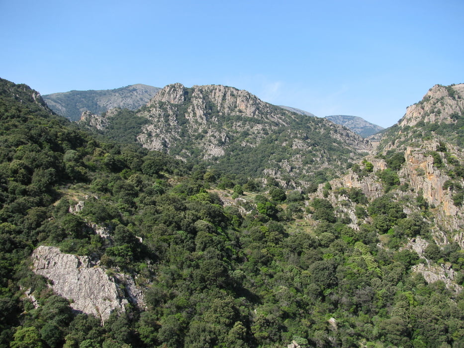

Weather permitting you will have great views over much of the southwestern part of Sardegna. The hike takes you through extraordinarily beautiful landscape. The walk can be quite strenuous, but it is not difficult.
DO NOT FORGET TO BRING ENOUGH WATER!!! And food.
Enjoy the views!
Túra fotóalbuma

Túratérkép és magasságprofil
Minimum height 354 m
Maximum height 862 m
More about the tour author

|
toftemo |
Megjegyzések

The hike to the cache starts close to Villacidro at the carpark at N39°27,965 E8°43,585.
To get to the carpark drive to the big cross, which is situated between Villacidro towncenter and the waterfall "Sa Spendula". Then follow "Via Pineta" on to some buildings of ESAF.
To get to the carpark drive to the big cross, which is situated between Villacidro towncenter and the waterfall "Sa Spendula". Then follow "Via Pineta" on to some buildings of ESAF.
GPS trackek
Trackpoints-
GPX / Garmin Map Source (gpx) download
-
TCX / Garmin Training Center® (tcx) download
-
CRS / Garmin Training Center® (crs) download
-
Google Earth (kml) download
-
G7ToWin (g7t) download
-
TTQV (trk) download
-
Overlay (ovl) download
-
Fugawi (txt) download
-
Kompass (DAV) Track (tk) download
-
Túralap (pdf) download
-
Original file of the author (gpx) download
More about the tour author
|
|
toftemo |
Add to my favorites
Remove from my favorites
Edit tags
Open track
My score
Rate