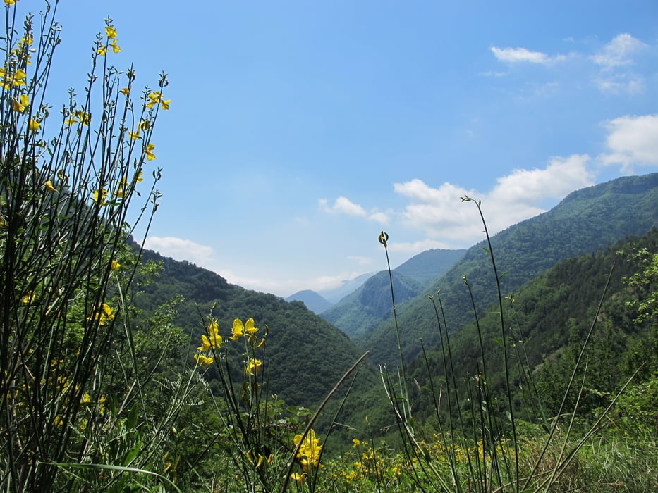
Einstieg nahe Camping St . Madeleine. Halbe Strecke auf GR52a. Wanderung durchgehend auf Pfaden. Zu Beginn starker Anstieg ueber 400 Meter in ca. 75 Minuten. Im oberen Teil teilweise leicht ausgesetzt. Abstieg teils geroellig. Keine Einkehrmoeglichkeit. Netto gute 4 Stunden.
Túra fotóalbuma
Túratérkép és magasságprofil
Minimum height 392 m
Maximum height 856 m
Megjegyzések

GPS trackek
Trackpoints-
GPX / Garmin Map Source (gpx) download
-
TCX / Garmin Training Center® (tcx) download
-
CRS / Garmin Training Center® (crs) download
-
Google Earth (kml) download
-
G7ToWin (g7t) download
-
TTQV (trk) download
-
Overlay (ovl) download
-
Fugawi (txt) download
-
Kompass (DAV) Track (tk) download
-
Túralap (pdf) download
-
Original file of the author (gpx) download
Add to my favorites
Remove from my favorites
Edit tags
Open track
My score
Rate


