


The uphill is on a paved road, just the last 2km are unpaved. The "Église Saint-Martin de Corsavy" just before reaching the village of Corsavy is definitely worth a stop. Before leaving the paved road towards the Tour de Batere you can cycle on westwards for 500m to take a rest in the "Refuge de Batère" (1450m), the food was excellent.
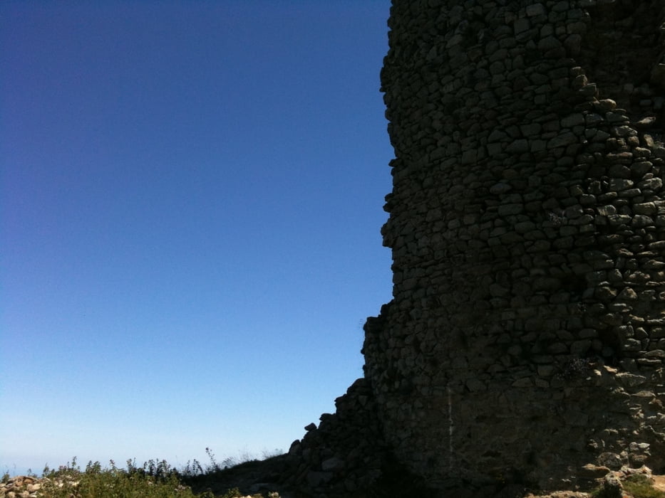
The top of the tour is marked by an old stone signaltower (Tour de Batère) , the view is stunning!!!!
From there you go down on unpaved, old miner's roads. Ever thought your bike's suspension parts are good? Well, if they survive the first part of the downhill, they really are. Nevertheless, the downhill is bumpy, but not difficult. You pass old mines and end up in Amelie les bains.
If you want, there are a few options to do the downhill on singletrails (hiking trails marked with a yellow stripe), but be warned: the trails are washed out and rocky, I don't recommend them.
Túra fotóalbuma


Túratérkép és magasságprofil
Minimum height 99999 m
Maximum height -99999 m
More about the tour author

|
DonSegafredo |
Megjegyzések

If you're coming from Ceret just drive through Amelie les bains and stop on the parking lot outside of amelie les bains. It's free and that's, where this gps-track starts from.
GPS trackek
Trackpoints-
GPX / Garmin Map Source (gpx) download
-
TCX / Garmin Training Center® (tcx) download
-
CRS / Garmin Training Center® (crs) download
-
Google Earth (kml) download
-
G7ToWin (g7t) download
-
TTQV (trk) download
-
Overlay (ovl) download
-
Fugawi (txt) download
-
Kompass (DAV) Track (tk) download
-
Túralap (pdf) download
-
Original file of the author (gpx) download
More about the tour author
|
|
DonSegafredo |
Add to my favorites
Remove from my favorites
Edit tags
Open track
My score
Rate