Login

Elfelejtetted a jelszód?

Cookies have to be accepted!
Your browser's cookie functionality is disabled. Please enable this functionality.

Not a member yet?

Register now
Login

Available for registred users only

Log in to use this feature.

Elfelejtetted a jelszód?

Cookies have to be accepted!
Your browser's cookie functionality is disabled. Please enable this functionality.

Not a member yet?

Register now
Filter
Kategóriák
Advanced filters
  • Hosszúság (km)
  • Szintkülönbség
Szűrő elmentése Reset filter

TrackRank

QRCode

Technical data

Hosszúság15,3 km Szintkülönbség1181 m Way down1140 m Tartam00:00 h:m Dátum25.06.2007
Értékelések Author Vidék Szórakozás Kondíció Technika

Statisztika

2858 Views Értékelések 210 Letöltések átlag
Rate
  • Túralap
  • Megközelítés
  • Letöltések
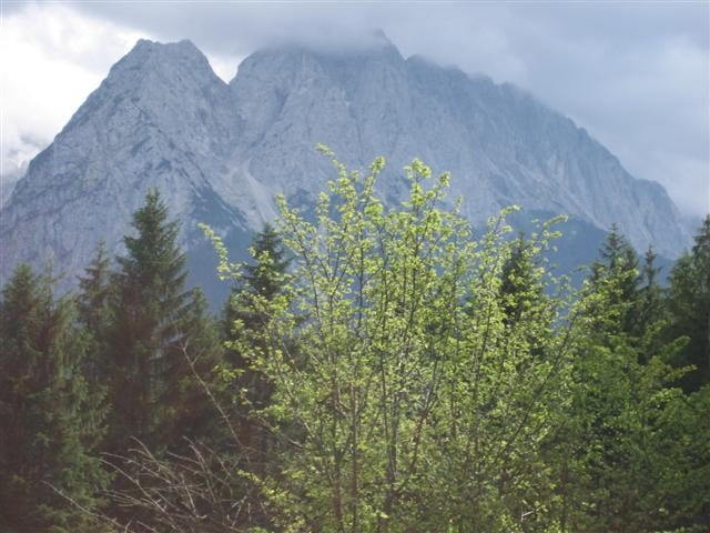
Schöne Wanderung auf kleinen Pfaden hinauf zur Steppbergalm und dann weiter auf den Hirschbühel. Netter Gipfel mit super Aussicht und bequemer Bank. Abstieg über Steppbergalm und das schluchtige Tal der gelben Gwänd.

Túra fotóalbuma

Túratérkép és magasságprofil

  • Open Street Map
  • Google
Minimum height 769 m Maximum height 1927 m Részletes nézet

More about the tour author

klinker

Megjegyzések

Ausgehend vom Tierheim in Grainau.

GPS trackek

Trackpoints
  • GPX / Garmin Map Source (gpx) download
  • TCX / Garmin Training Center® (tcx) download
  • CRS / Garmin Training Center® (crs) download
  • Google Earth (kml) download
  • G7ToWin (g7t) download
  • TTQV (trk) download
  • Overlay (ovl) download
  • Fugawi (txt) download
  • Kompass (DAV) Track (tk) download
  • Túralap (pdf) download
  • Original file of the author (gpx) download

More about the tour author

klinker

Share track
Add to my favorites
Remove from my favorites
Edit tags
My score
Rate
Túra: Hirschbühel / Hirschbichl
jelleg: Hegyi túra
Hosszúság: 15,3 km
Evaluated on:
Tartam:
Day(s)
Hour(s)
Minute(s)
Értékelés: Vidék Szórakozás Kondíció Technika