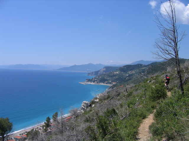
Die Tour führt von Finalpia ins Gebiet LeManie.
Sehr schöne Trail Passagen und teilweise traumhafter Blick aufs Meer.
Sehr schöne Trail Passagen und teilweise traumhafter Blick aufs Meer.
Túratérkép és magasságprofil
Minimum height 2 m
Maximum height 407 m
Megjegyzések
Von Savona auf der A10 in Richtung Ventimiglia, Ausfahrt Finale Ligure. Von hier aus nach Finalpia.
GPS trackek
Trackpoints-
GPX / Garmin Map Source (gpx) download
-
TCX / Garmin Training Center® (tcx) download
-
CRS / Garmin Training Center® (crs) download
-
Google Earth (kml) download
-
G7ToWin (g7t) download
-
TTQV (trk) download
-
Overlay (ovl) download
-
Fugawi (txt) download
-
Kompass (DAV) Track (tk) download
-
Túralap (pdf) download
-
Original file of the author (gpx) download
Add to my favorites
Remove from my favorites
Edit tags
Open track
My score
Rate


LeManie
gps Download
Andere Finale Trails mit GPS Download findet man übrigens auf www.mountainbike.bz
Gruß
Luis
Finale 2011