
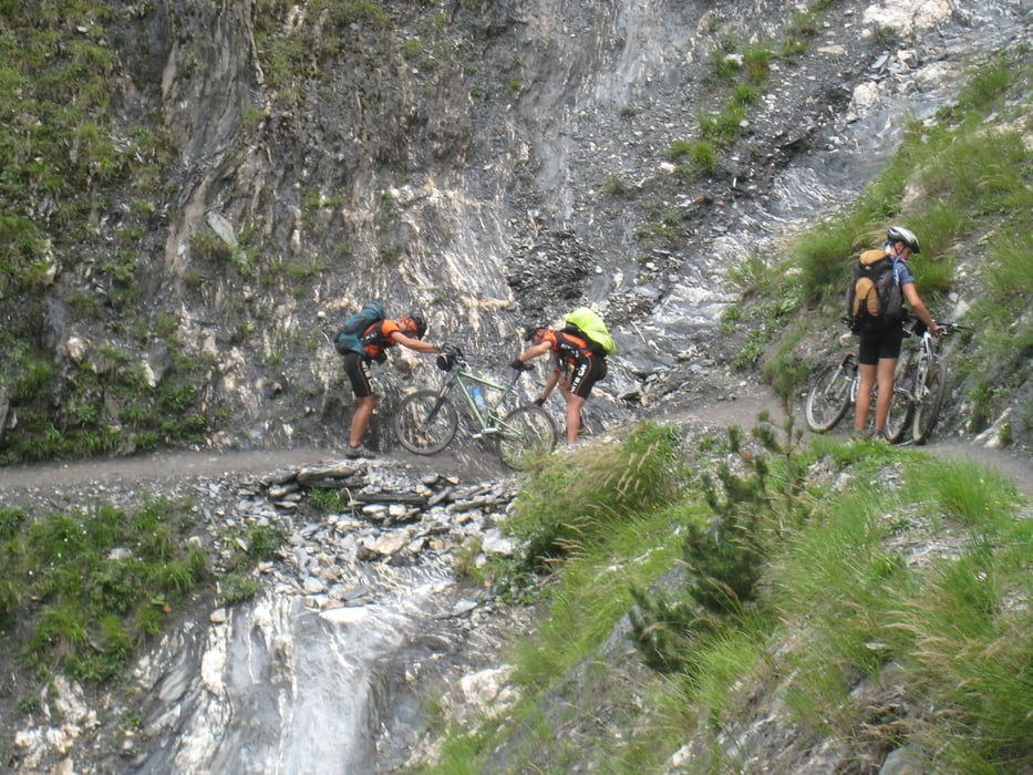

This is my TMB and different options may lead to better cyclibility. A lot of "portage" has been performed !!! Please choice yout tour with the maps and do not count only on GPS tracks. Do not follows mytracks after col de la Balme since there my descendre is not good for cycling!!!!!!
Túra fotóalbuma


Túratérkép és magasságprofil
Minimum height 983 m
Maximum height 2539 m
More about the tour author

|
eliope |
Megjegyzések

GPS trackek
Trackpoints-
GPX / Garmin Map Source (gpx) download
-
TCX / Garmin Training Center® (tcx) download
-
CRS / Garmin Training Center® (crs) download
-
Google Earth (kml) download
-
G7ToWin (g7t) download
-
TTQV (trk) download
-
Overlay (ovl) download
-
Fugawi (txt) download
-
Kompass (DAV) Track (tk) download
-
Túralap (pdf) download
-
Original file of the author (gpx) download
More about the tour author
|
|
eliope |
Add to my favorites
Remove from my favorites
Edit tags
Open track
My score
Rate