Login

Elfelejtetted a jelszód?

Cookies have to be accepted!
Your browser's cookie functionality is disabled. Please enable this functionality.

Not a member yet?

Register now
Login

Available for registred users only

Log in to use this feature.

Elfelejtetted a jelszód?

Cookies have to be accepted!
Your browser's cookie functionality is disabled. Please enable this functionality.

Not a member yet?

Register now
Filter
Kategóriák
Advanced filters
  • Hosszúság (km)
  • Szintkülönbség
Szűrő elmentése Reset filter

TrackRank

QRCode

Technical data

Hosszúság9,4 km Szintkülönbség378 m Way down280 m Tartam00:00 h:m Dátum04.04.2012
Értékelések Author Vidék Szórakozás Kondíció Technika

Statisztika

610 Views Értékelések 87 Letöltések átlag
Rate
  • Túralap
  • Megközelítés
  • Letöltések
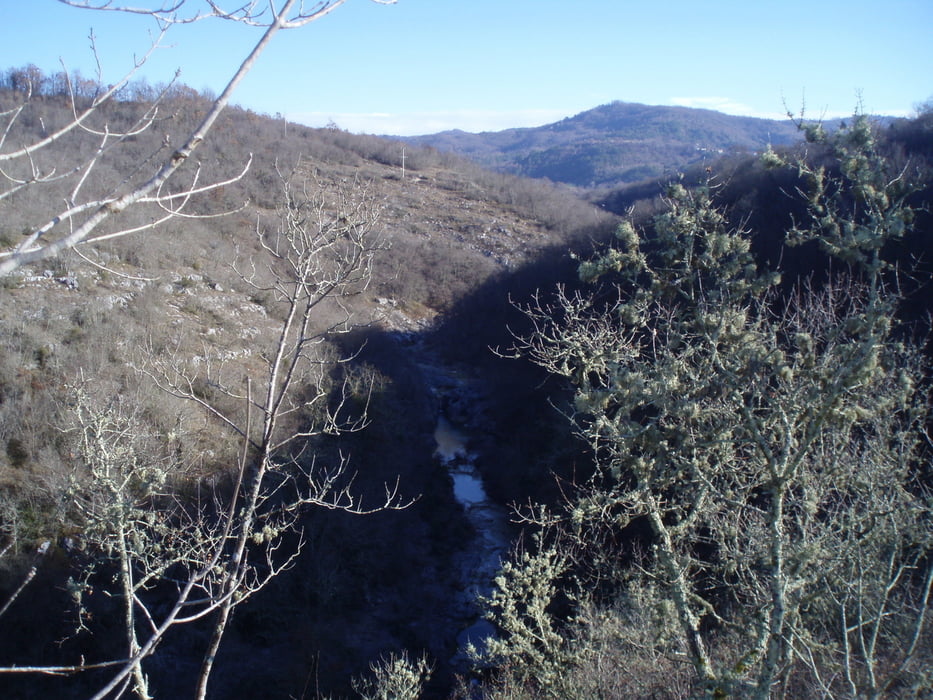
The trail begins and ends in the village Grdo Selo (Istria - Croatia). Runs along the stream to the ruins of the old town (Stari Grad or Zelengrad) and to a large and a small waterfall and back into the Grdo Selo.

Túra fotóalbuma

Túratérkép és magasságprofil

  • Open Street Map
  • Google
Minimum height 70 m Maximum height 243 m Részletes nézet

More about the tour author

Modri
Member since 2012

Send private message

Megjegyzések


GPS trackek

Trackpoints
  • GPX / Garmin Map Source (gpx) download
  • TCX / Garmin Training Center® (tcx) download
  • CRS / Garmin Training Center® (crs) download
  • Google Earth (kml) download
  • G7ToWin (g7t) download
  • TTQV (trk) download
  • Overlay (ovl) download
  • Fugawi (txt) download
  • Kompass (DAV) Track (tk) download
  • Túralap (pdf) download
  • Original file of the author (gpx) download

More about the tour author

Modri
Member since 2012

Send private message
Share track
Add to my favorites
Remove from my favorites
Edit tags
My score
Rate
Túra: Stari grad
jelleg: Gyalogtúrázás
Hosszúság: 9,4 km
Evaluated on:
Tartam:
Day(s)
Hour(s)
Minute(s)
Értékelés: Vidék Szórakozás Kondíció Technika