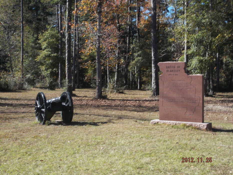
Nice and easy hiking tour near the historical battle field on the various hiking trails through the forrest of the park.
Use the broadwalks with precaution, some of them are in bad condition.
Galleria itinerari
Mappa itinerario e altimetria
Altezza minima -4 m
Altezza massima 55 m
Commenti

From Mobile on I-10 or US-90 until Spanish Fort, drive US-225 north for about 4,5 miles to the park entrance on the left
Tracce GPS
Punti di traccia-
GPX / Garmin Map Source (gpx) download
-
TCX / Garmin Training Center® (tcx) download
-
CRS / Garmin Training Center® (crs) download
-
Google Earth (kml) download
-
G7ToWin (g7t) download
-
TTQV (trk) download
-
Overlay (ovl) download
-
Fugawi (txt) download
-
Kompass (DAV) Track (tk) download
-
Scheda tecnica (pdf) download
-
File originale dell'autore (gpx) download
Aggiungi ai miei preferiti
Rimuovi dai miei preferiti
Modifica dei tag
Tour aperto
Il mio voto
Vota


