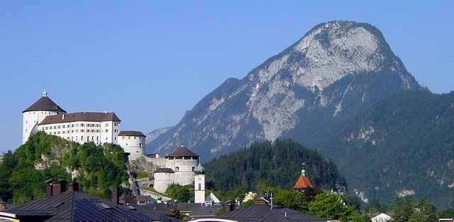
Vom Gasthof Schneeberg bis zur bewirtschafteten Kala-Alm, von dort zum "Kufsteiner Haus" auf dem Pendling-Gipfel. Durchgängig breiter und angenehmer Forstweg. Abstieg gleich wie Aufstieg oder über gelegentliche Abkürzungen durch den Wald.
Galleria itinerari
Mappa itinerario e altimetria
Altezza minima 1016 m
Altezza massima 1539 m
Commenti

Inntalautobahn Ausfahrt Kufstein-Nord. Gleich nach dem Kreisel rechts halten, weiter bis nach Thiersee fahren, dort im Zentrum bei der Kreuzung (rechts nach Landl) nach links abbiegen, den Berg hinauf und im Ortsteil Mitterland bei der Telefonzelle links Richtung Schneeberg abbiegen, ab hier hinauf bis zum Gasthof Schneeberg und dort parken.
Tracce GPS
Punti di traccia-
GPX / Garmin Map Source (gpx) download
-
TCX / Garmin Training Center® (tcx) download
-
CRS / Garmin Training Center® (crs) download
-
Google Earth (kml) download
-
G7ToWin (g7t) download
-
TTQV (trk) download
-
Overlay (ovl) download
-
Fugawi (txt) download
-
Kompass (DAV) Track (tk) download
-
Scheda tecnica (pdf) download
-
File originale dell'autore (g7t) download
Aggiungi ai miei preferiti
Rimuovi dai miei preferiti
Modifica dei tag
Tour aperto
Il mio voto
Vota


