
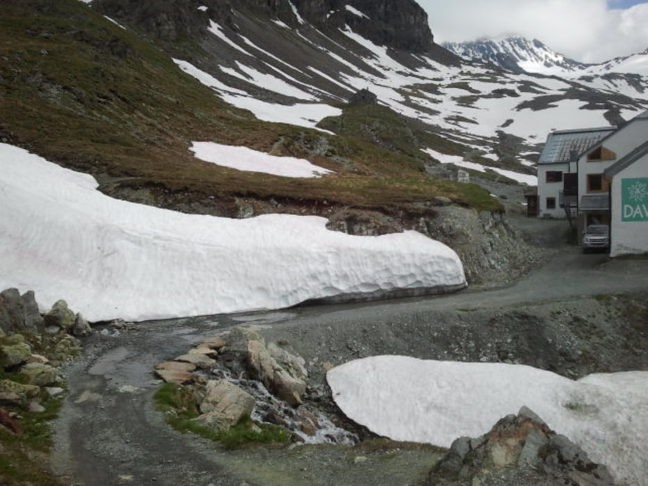

From Galtür first to Wirl on gravel and asphalt. From Wirl on gravel towards Bielerhöhe and Silvretta Reservoir, gently climbing, more or less parallel to the main road. Watch out for the cows! At the reservoir along the shore towards the walking path to the Wiesbadener Hütte. The climb to the hut starts gently, on a walking path, climbing in a valley along the stream. After some time the path becomes steeper and steeper, at some parts cycling is difficult because the path is very steep. Also stones and rocks are lying on the path, meaning that when you are cycling at these steep parts, you have to slalom between these stones. The rewards are high, as the valley has a beautiful scenery, and the view on the glacier is really worthwile, when coming closer towards the hut. Same way back to return to Galtür.
Galleria itinerari

Mappa itinerario e altimetria
Altezza minima 1594 m
Altezza massima 2437 m
Maggiori informazioni sull'autore del tour

|
benthumw |
Commenti

Tracce GPS
Punti di traccia-
GPX / Garmin Map Source (gpx) download
-
TCX / Garmin Training Center® (tcx) download
-
CRS / Garmin Training Center® (crs) download
-
Google Earth (kml) download
-
G7ToWin (g7t) download
-
TTQV (trk) download
-
Overlay (ovl) download
-
Fugawi (txt) download
-
Kompass (DAV) Track (tk) download
-
Scheda tecnica (pdf) download
-
File originale dell'autore (gpx) download
Maggiori informazioni sull'autore del tour
|
|
benthumw |
Aggiungi ai miei preferiti
Rimuovi dai miei preferiti
Modifica dei tag
Tour aperto
Il mio voto
Vota