


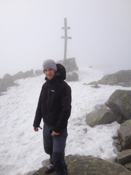
29.4.2013: We left Stefanikova hut at 8:40, passed Ďumbier from left side and went approximately around the contour to the ski lift on Chopok. Then we went directly up the slope to Kamenna hut where it is possible to eat/drink. Then partly down the slope, partly down the forrest to the valley. From the lowest point of the track (1345m) up to the ridge, but the orientation was not easy due to the foggy weather so we missed the planned ascent. Finally we reached the ridge near Konske (1888m), then along the ridge direction Dumbier and then down to Stefanikova hut.
Galleria itinerari


Mappa itinerario e altimetria
Altezza minima 1345 m
Altezza massima 2026 m
Maggiori informazioni sull'autore del tour

|
JakubBr |
Commenti

Parking is possible not far from Srdiečko hotel, directly on the beginning of the track.
From parking place it is possible to go on ski.
Tracce GPS
Punti di traccia-
GPX / Garmin Map Source (gpx) download
-
TCX / Garmin Training Center® (tcx) download
-
CRS / Garmin Training Center® (crs) download
-
Google Earth (kml) download
-
G7ToWin (g7t) download
-
TTQV (trk) download
-
Overlay (ovl) download
-
Fugawi (txt) download
-
Kompass (DAV) Track (tk) download
-
Scheda tecnica (pdf) download
-
File originale dell'autore (gpx) download
Maggiori informazioni sull'autore del tour
|
|
JakubBr |
Aggiungi ai miei preferiti
Rimuovi dai miei preferiti
Modifica dei tag
Tour aperto
Il mio voto
Vota