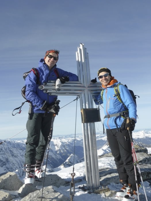
Weissee - Sonnenblick
Tour starts from the Weissee bergstation. Drop a few meters on the ski-piste, then start along the left side of the lake.Continue NW until the plateu at 2700m. From there the track goes SW until it reaches the rocks.
Descend back to tha lake along the trial, and then on the ski-piste until the parking at the tahlstation..
Galleria itinerari
Mappa itinerario e altimetria
Altezza minima 1460 m
Altezza massima 3083 m
Commenti

Tracce GPS
Punti di traccia-
GPX / Garmin Map Source (gpx) download
-
TCX / Garmin Training Center® (tcx) download
-
CRS / Garmin Training Center® (crs) download
-
Google Earth (kml) download
-
G7ToWin (g7t) download
-
TTQV (trk) download
-
Overlay (ovl) download
-
Fugawi (txt) download
-
Kompass (DAV) Track (tk) download
-
Scheda tecnica (pdf) download
-
File originale dell'autore (gpx) download
Aggiungi ai miei preferiti
Rimuovi dai miei preferiti
Modifica dei tag
Tour aperto
Il mio voto
Vota


