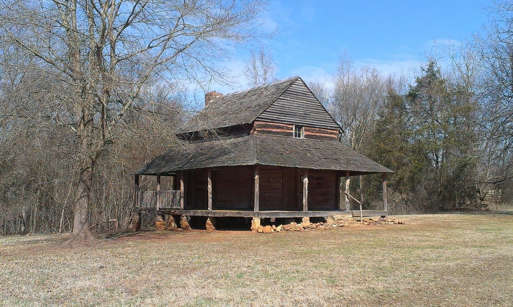
Easy walk through the Anne Close SpringsClose Greenway Nature Loops on the mostly well marked hicking trails (Lake Haigler, Hickory, Wild Azalea, Muscadine, Blue Star, Prairie, Field Trail).
Many of the trails aren also used as horse trail.
Galleria itinerari
Mappa itinerario e altimetria
Altezza minima 147 m
Altezza massima 243 m
Commenti

Coming from the Springfield Parkway, you can start at the paking lot of the Diary Barn or the Natue Centre, if coming from the Highway 21 Bypass..
Tracce GPS
Punti di traccia-
GPX / Garmin Map Source (gpx) download
-
TCX / Garmin Training Center® (tcx) download
-
CRS / Garmin Training Center® (crs) download
-
Google Earth (kml) download
-
G7ToWin (g7t) download
-
TTQV (trk) download
-
Overlay (ovl) download
-
Fugawi (txt) download
-
Kompass (DAV) Track (tk) download
-
Scheda tecnica (pdf) download
-
File originale dell'autore (gpx) download
Aggiungi ai miei preferiti
Rimuovi dai miei preferiti
Modifica dei tag
Tour aperto
Il mio voto
Vota


