

From Saint Jean de Lorne you start this tour to Auxonne and then to outskirts of Dijon. In Auxonne you could visit the Napoleon´s room at the military academy when he was a second leutenant but you have to call the phone number of the tourism office with anticipation and ask for a date.
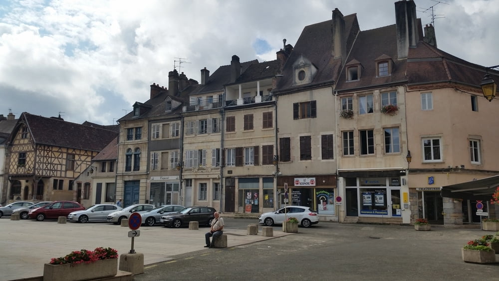
The town of Auxonne is interesting and lovely but try to be there in the morning or late in the afternoon. From 12:00 to 4:00 pm it looks more like a dead town and most stores are closed. Visit the cathedral and walk through the small streets, have a drink and enjoy.
The tour end in the village of Breteniere but we had a boat as lodge; you must anticipate that you have to find a place for spending the night.
Galleria itinerari


Mappa itinerario e altimetria
Altezza minima 176 m
Altezza massima 237 m
Maggiori informazioni sull'autore del tour

|
alonso100 |
Commenti

See my tour Burgundy 4.
This tour is part of a 6-day tour with the bike in the Burgundy and every tour is described individually.
Tracce GPS
Punti di traccia-
GPX / Garmin Map Source (gpx) download
-
TCX / Garmin Training Center® (tcx) download
-
CRS / Garmin Training Center® (crs) download
-
Google Earth (kml) download
-
G7ToWin (g7t) download
-
TTQV (trk) download
-
Overlay (ovl) download
-
Fugawi (txt) download
-
Kompass (DAV) Track (tk) download
-
Scheda tecnica (pdf) download
-
File originale dell'autore (gpx) download
Maggiori informazioni sull'autore del tour
|
|
alonso100 |
Aggiungi ai miei preferiti
Rimuovi dai miei preferiti
Modifica dei tag
Tour aperto
Il mio voto
Vota