


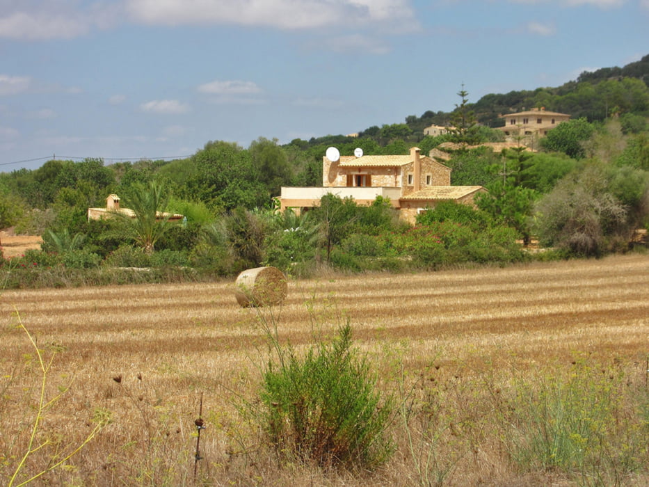
The bike tour of Calla Millor to Cala D'or is 98.4 km long. On the slightly hilly tour you will overcome a total of 758 vertical meters. In addition to the tourist resorts of Cala Millor, Calla D'or and Porte Petro with many hotels along the coast there are inland Mallorcan cities (Felanitx and Manacor), Estates and landscapes.
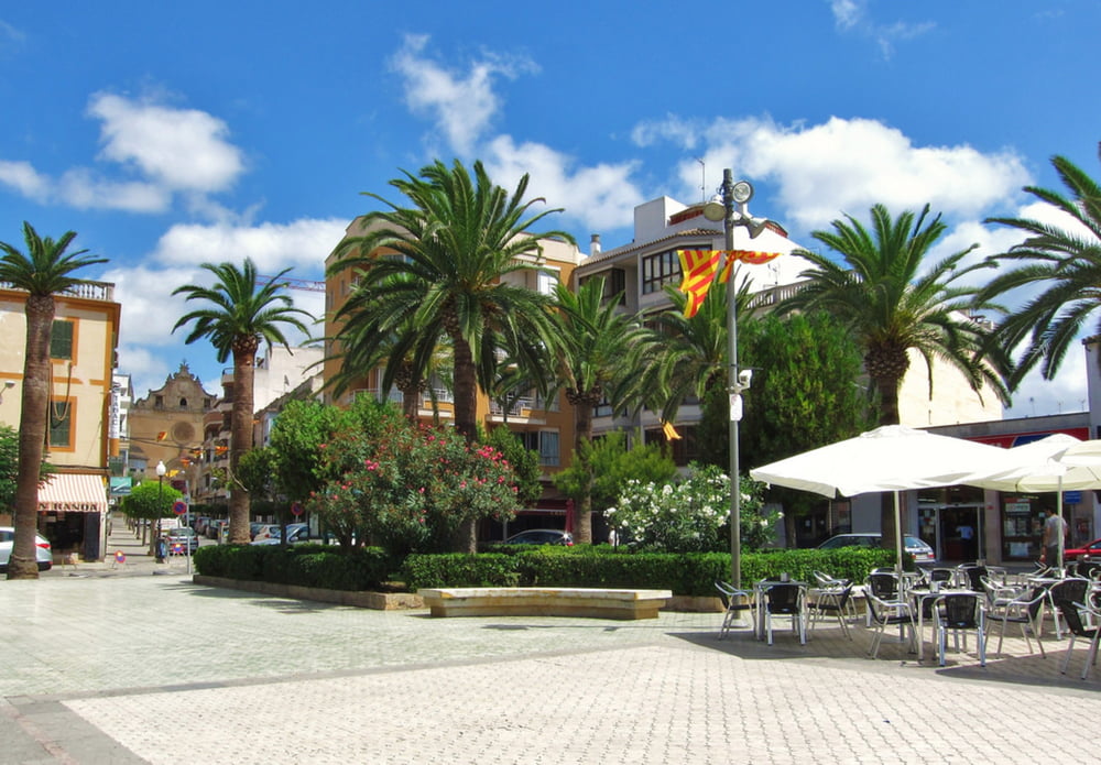
First we drive of Calla Millor to Sa Coma and then on the main road Ma-4023 to Porto Cristo. Side of the road there is an approximately 1 meter wide cycle lane. In Porto Cristo we keep left and then through a pine avenue towards the sea. The port and the tourist center past we leave Porto Cristo again and continue on the road Ma-4014 further to the southwest. At the roundabout in Calonge we take the exit to Cala D'or and reach the resort after another 5 kilometers. The center is very busy in the summer months, but not as crowded as other tourist centers in Mallorca. In the pedestrian zone there are a large number of shops, bars and restaurants. The Marina Porto Cari in Cala Llonga offers exclusive yachts, charter boats and restaurants. We take this opportunity for a little break in Cala D'or. 3 km later we go through the next tourist destination Porto Petro.
On the road Ma-19 we bike then about 3 kilometers to the northwest and then we switch on a narrow road with little traffic in the direction of Cas Concos Cavaller. Shortly after the highest point at an altitude of 136m, we drive after the first half of this tour by Cas Concos of Cavaller and 7km later by the larger town Felanitx. Continue towards Manacor we drive on streets with little traffic as Ma-5110 and then on an accompanying road next to the highway Ma-15. The last 15 km we follow the equally quiet side road Ma-4021 to Son Carrio and back to the starting point in Cala Millor.
More infos and fotos on biketours4you.at
Galleria itinerari


Mappa itinerario e altimetria
Altezza minima 2 m
Altezza massima 136 m
Maggiori informazioni sull'autore del tour
|
|
Trek1400d |
Commenti

Entweder mit dem Taxi direkt vom Fluhafen. Per Zug fahren Sie mit dem Bus oder Taxi zur Plaza de España von Palma de Mallorca. Von dort aus fahren die Züge nach Cala Millor ab.
Mit dem Auto: - fahren Sie Richtung Manacor. - folgen Sie auf der Hauptstraße Palma - Manacor fahrend der Beschilderung. - Sie fahren an den Städten Algaida, Montuiri und Villafranca vorbei, bis Sie Manacor erreichen. - Sobald Sie in Manacor sind, nehmen Sie die Umfahrungsstraße bis zur Ausfahrt Porto Cristo - Wenn Sie in Porto Cristo ankommen wird Cala Millor am ersten Kreisverkehr angegeben.
Mit dem Auto: - fahren Sie Richtung Manacor. - folgen Sie auf der Hauptstraße Palma - Manacor fahrend der Beschilderung. - Sie fahren an den Städten Algaida, Montuiri und Villafranca vorbei, bis Sie Manacor erreichen. - Sobald Sie in Manacor sind, nehmen Sie die Umfahrungsstraße bis zur Ausfahrt Porto Cristo - Wenn Sie in Porto Cristo ankommen wird Cala Millor am ersten Kreisverkehr angegeben.
Tracce GPS
Punti di traccia-
GPX / Garmin Map Source (gpx) download
-
TCX / Garmin Training Center® (tcx) download
-
CRS / Garmin Training Center® (crs) download
-
Google Earth (kml) download
-
G7ToWin (g7t) download
-
TTQV (trk) download
-
Overlay (ovl) download
-
Fugawi (txt) download
-
Kompass (DAV) Track (tk) download
-
Scheda tecnica (pdf) download
-
File originale dell'autore (gpx) download
Maggiori informazioni sull'autore del tour
|
|
Trek1400d |
Aggiungi ai miei preferiti
Rimuovi dai miei preferiti
Modifica dei tag
Tour aperto
Il mio voto
Vota