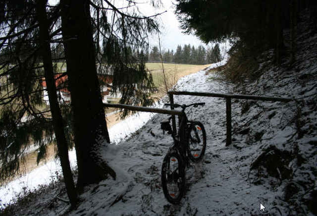
Kleine Runde um und auf den Kienberg
Start ist am Gashthof, direkt über der Autobahn.
Meist Forstwege, vom Kienberg hinab geht es ziemlich steil runter, nur bei trockenem Wetter spurenfrei fahrbar.
Start ist am Gashthof, direkt über der Autobahn.
Meist Forstwege, vom Kienberg hinab geht es ziemlich steil runter, nur bei trockenem Wetter spurenfrei fahrbar.
Mappa itinerario e altimetria
Altezza minima 577 m
Altezza massima 826 m
Commenti

Tracce GPS
Punti di traccia-
GPX / Garmin Map Source (gpx) download
-
TCX / Garmin Training Center® (tcx) download
-
CRS / Garmin Training Center® (crs) download
-
Google Earth (kml) download
-
G7ToWin (g7t) download
-
TTQV (trk) download
-
Overlay (ovl) download
-
Fugawi (txt) download
-
Kompass (DAV) Track (tk) download
-
Scheda tecnica (pdf) download
-
File originale dell'autore (gpx) download
Aggiungi ai miei preferiti
Rimuovi dai miei preferiti
Modifica dei tag
Tour aperto
Il mio voto
Vota

