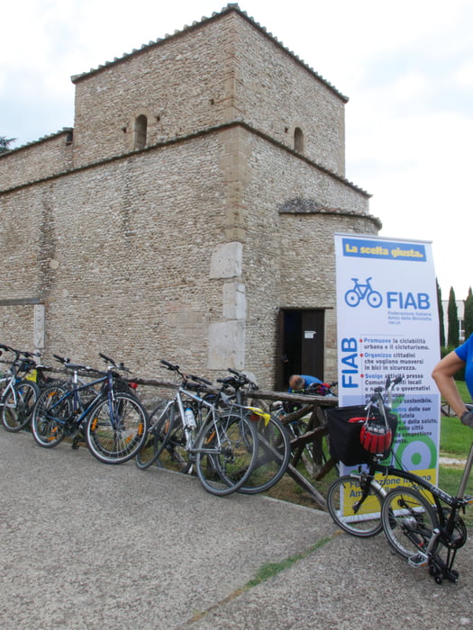
The tour has been performed with a Stambek 29 front suspended MTB in steel (tyres 2.2) with rear panniers and handlebar bags.
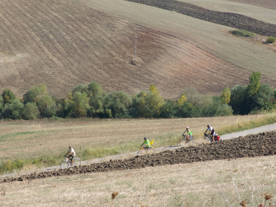
Also Off road piece of stretches have been done (when they were indicated as possible to be used for bike).
The Eurovelo 5 is also nicknamed "Ciclofrancigena del sud" since follows the via Appia and it may be considered as a possible track used in the middle age from the pilgrim toward Gerusalemme.
The entire tour from Rome to Leuca Lecce (performed summer 2015) is devided into 3 parts:
-
From Rome to Benevento (Track 145409) . I take inspiration from the Eurovelo5 that was done by FIAB during Bicistaffetta 2014 from Benevento to Rome. I customised it to my needs. 5 days.
-
from Benevento to Brindisi (this track 145527): this part has been cicled together with FIAB Bicistaffetta 2015. It has been done trying to identify the most suitable Eurovelo5 path. Off road road have been done. Just in very few cases it is needed to get off the bike (No cases with if you have MTB VTT BTT). For sure this track will be subject to change in the future (especially to get into Taranto). See for reference official sites of Eurovelo and Bicitalia.
-
Just to finish a I followed the coast following both paved road and Off Road. End of tour in Lecce. Many other posibilities may be taken. (Avoid Galatina Lecce road ) but go in Galatina to see Santa caterina church). Avoid to do this trip in Agoust!!!!)
Day 1: Benevento Monteleone di Puglia 63 km 1370 m altitude difference
Day 2: Monteleone di Puglia – Venosa 90 km 1315 m
Day 3: Venosa - Gravina 77 km 855 m
Day 4: Gravina – Matera 43 km 482 m
Day 5: Matera - Taranto 92 km 870 m
Day 6: Taranto – Mesagne 79 km 500 m
Day 7: Mesagne – Brindisi 16 km 68 m
Ulteriori informazioni sotto
http://www.eurovelo.com/en/news-items/bicisaffetta-2015-2013-cycling-for-better-infrastructure-in-italyGalleria itinerari
Mappa itinerario e altimetria
Commenti

Tracce GPS
Punti di traccia-
GPX / Garmin Map Source (gpx) download
-
TCX / Garmin Training Center® (tcx) download
-
CRS / Garmin Training Center® (crs) download
-
Google Earth (kml) download
-
G7ToWin (g7t) download
-
TTQV (trk) download
-
Overlay (ovl) download
-
Fugawi (txt) download
-
Kompass (DAV) Track (tk) download
-
Scheda tecnica (pdf) download
-
File originale dell'autore (gpx) download


