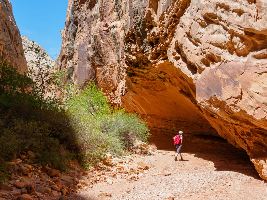
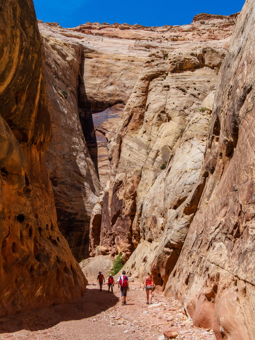
Grand Wash is a famous gorge that cuts its way through the upper portion of the Waterpocket Fold in Capitol Reef National Park. The wash connects the Scenic Road as it heads south past Cassidy Arch, to Highway 24 just east of Spring Canyon. The wash is level throughout almost the entire route, though it is full of streambed sediment. Only at the narrow does the trail close in and get tight.
Galleria itinerari
Mappa itinerario e altimetria
Altezza minima 1574 m
Altezza massima 1693 m
Commenti

Ab Green River folgen wir dem Highway 50 westwärts. An Exit 149 geht es südwärts auf die 24 Richtung Hanksville. Dort nach Westen bis zum Trailhead.
Tracce GPS
Punti di traccia-
GPX / Garmin Map Source (gpx) download
-
TCX / Garmin Training Center® (tcx) download
-
CRS / Garmin Training Center® (crs) download
-
Google Earth (kml) download
-
G7ToWin (g7t) download
-
TTQV (trk) download
-
Overlay (ovl) download
-
Fugawi (txt) download
-
Kompass (DAV) Track (tk) download
-
Scheda tecnica (pdf) download
-
File originale dell'autore (gpx) download
Aggiungi ai miei preferiti
Rimuovi dai miei preferiti
Modifica dei tag
Tour aperto
Il mio voto
Vota


