

this tour have some areas wich are very technic, always drive in a moderate speed over the single tracks, in some areas are some branches in the middle of the way, some parts of this tour have freeride shore's, but there is always an alternative side way, have a lot of fun and enjoy the sights and monuments:] I apoliguse because there is no photos yet, but soon it will be here.
Mappa itinerario e altimetria
Altezza minima 193 m
Altezza massima 483 m
Maggiori informazioni sull'autore del tour

|
icon8 |
Commenti

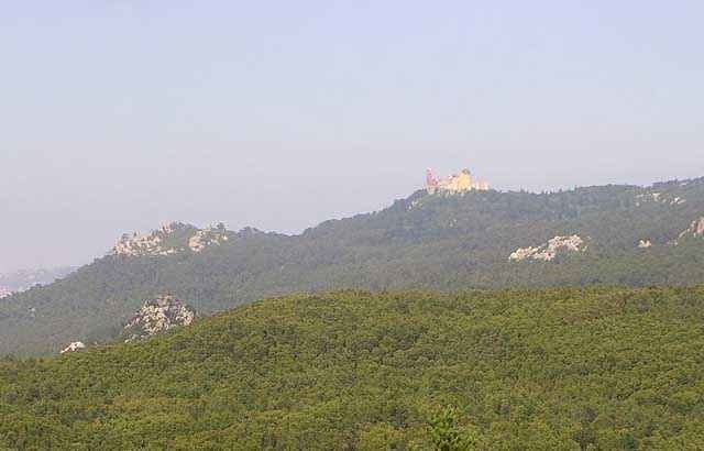
the tour starts inside sintra in a place called "largo do morais, then the moor castle"castelo dos mouros",capuchos convent,almost in the peninha convent(i didnt passed beside but who want's can make a little turn and drive over there cause its very nice,monge one of the highest points,and then back close to the castle and a final and very special downhill to the historical center of town where you can have the greatest cake´s in the world to finish this great tour, enjoy the ride.
Tracce GPS
Punti di traccia-
GPX / Garmin Map Source (gpx) download
-
TCX / Garmin Training Center® (tcx) download
-
CRS / Garmin Training Center® (crs) download
-
Google Earth (kml) download
-
G7ToWin (g7t) download
-
TTQV (trk) download
-
Overlay (ovl) download
-
Fugawi (txt) download
-
Kompass (DAV) Track (tk) download
-
Scheda tecnica (pdf) download
-
File originale dell'autore (g7t) download
Maggiori informazioni sull'autore del tour
|
|
icon8 |
Aggiungi ai miei preferiti
Rimuovi dai miei preferiti
Modifica dei tag
Tour aperto
Il mio voto
Vota