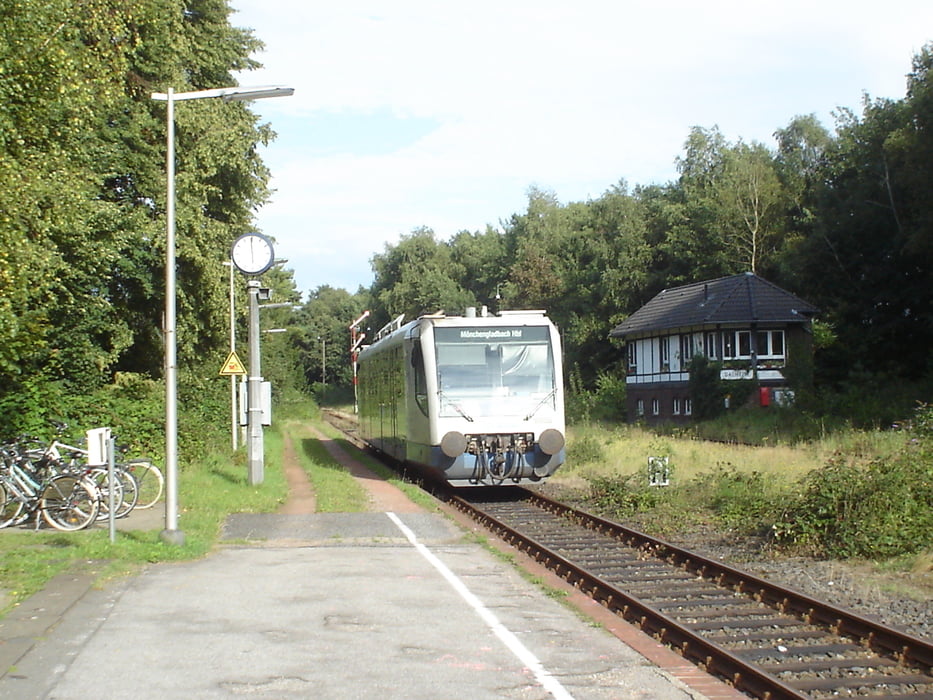
Tagestour, wobei eine kurze Verbindung durch Feld und Wald abseits der Fernstraßen gewählt wurde.
Ulteriori informazioni sotto
http://www.wegberg.de/ger/index.php?location=aktuelles/index.phpMappa itinerario e altimetria
Altezza minima
Altezza massima 100 m
Commenti

Zum Start dieser Route fährst du mit dem Auto über Kaarster Autobahnkreuz, Abfahrt 18 von der A57 in Richtung Mönchengladbach und an der vierten Ampel links Richtung Vorst bis zum Parkplatz an der Wattmannstrasse. Per Bahn ist der Startpunkt mit der S 28 bis Kaarster See oder der S 8 bis S-Bahnhof Büttgen zu erreichen.
Tracce GPS
Punti di traccia-
GPX / Garmin Map Source (gpx) download
-
TCX / Garmin Training Center® (tcx) download
-
CRS / Garmin Training Center® (crs) download
-
Google Earth (kml) download
-
G7ToWin (g7t) download
-
TTQV (trk) download
-
Overlay (ovl) download
-
Fugawi (txt) download
-
Kompass (DAV) Track (tk) download
-
Scheda tecnica (pdf) download
-
File originale dell'autore (gpx) download
Aggiungi ai miei preferiti
Rimuovi dai miei preferiti
Modifica dei tag
Tour aperto
Il mio voto
Vota


