
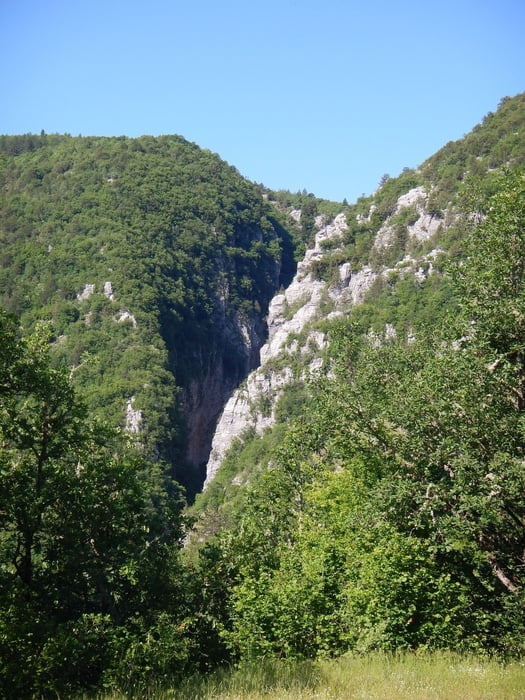

The start of this walk is on the begin of the village Tsepelovo. Follow the dust road in south direction, down the hill, direct to the first bridge Chatsiou. The second bridge Paliogefyro is on the begin of the canyon, 180 meters west of Chatsiou.
From the bridge Chatsiou the trail follow the dust road on the other side, south, up the hill to Kipi.
The third bridge Kovatsenas is 400 meter after Chatsiou on the right side.
Be careful, the bridge is behind trees and bushes.
From there the road goes up to the hill. There the road follow the ridge in west direction.
Later down the hill to Kipi.
At point 013 you can go right (like us), or straight (shorter distance to Kipi).
Galleria itinerari


Mappa itinerario e altimetria
Altezza minima 750 m
Altezza massima 1068 m
Maggiori informazioni sull'autore del tour

|
Mapdekode |
Commenti

Tracce GPS
Punti di traccia-
GPX / Garmin Map Source (gpx) download
-
TCX / Garmin Training Center® (tcx) download
-
CRS / Garmin Training Center® (crs) download
-
Google Earth (kml) download
-
G7ToWin (g7t) download
-
TTQV (trk) download
-
Overlay (ovl) download
-
Fugawi (txt) download
-
Kompass (DAV) Track (tk) download
-
Scheda tecnica (pdf) download
-
File originale dell'autore (gpx) download
Maggiori informazioni sull'autore del tour
|
|
Mapdekode |
Aggiungi ai miei preferiti
Rimuovi dai miei preferiti
Modifica dei tag
Tour aperto
Il mio voto
Vota