


Arbol Solitario
or the lonley tree.
hike up there is pretty rough at the beginning.
It starts with a challenging climb through the forest.
After app. one hour the tour turns into a more decent hike than the previous climb.
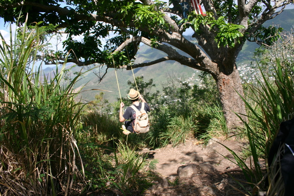
The summit gives a realy! good view, the tree is nice and it has a swing :).
note: i had to hop a fence to reach the beginning of the trail and you will walk alongside two properties which are protected by dogs so lot's of barking at you.
I recorded the tour from the summit back to my car since it's been the first time and going up I went quite a few times the wrong way ):,
Enjoy
Galleria itinerari
Mappa itinerario e altimetria
Altezza minima 98 m
Altezza massima 543 m
Maggiori informazioni sull'autore del tour

|
Mangnuel |
Commenti

Tracce GPS
Punti di traccia-
GPX / Garmin Map Source (gpx) download
-
TCX / Garmin Training Center® (tcx) download
-
CRS / Garmin Training Center® (crs) download
-
Google Earth (kml) download
-
G7ToWin (g7t) download
-
TTQV (trk) download
-
Overlay (ovl) download
-
Fugawi (txt) download
-
Kompass (DAV) Track (tk) download
-
Scheda tecnica (pdf) download
-
File originale dell'autore (gpx) download
Maggiori informazioni sull'autore del tour
|
|
Mangnuel |
Aggiungi ai miei preferiti
Rimuovi dai miei preferiti
Modifica dei tag
Tour aperto
Il mio voto
Vota