


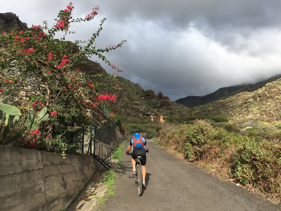
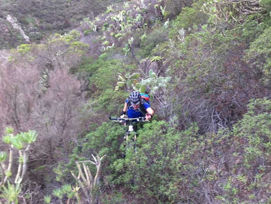
Von Santa Cruz die Uferpromenade nach San Andres und von dort auf der Teerstraße TF-121 weiter zum Baranco de Igueste. diesen hinauf und auf Wanderpfad weiter hinauf. Hier gibt es mehrere möglichkeiten weiter hinauf zu kommen. Unsere ist vermutlich die schlechteste! Sehr eng, das Fahrrad ist fast durchgehend durch Gestrüpp und Kakteen zu tragen.
Vermutlich besser: noch vor Ende der Teerstraße rechts hinauf nach las Casillas
oder dem Barranco de Igueste weiter hinauf folgen und erst auf 420m Höhe nach links
oder auf dem Rücken zwischen Barranco de Igueste und Barranco de las Piletas hinauf
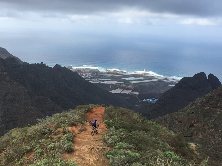
Ab 550 m Höhe war der Weg dann wieder teilweise fahrbar bis die TF-123 bei la Cancelila erreicht wird. Nun auf der Teerstraße, zuletzt steil hinab bis zum Nordöstlichsten mit PkW befahrbaren Punkt der Insel.
wer viel Zeit hat könnte noch bis hinuter an die Küste, den nördlichen Fußweg nehmen oder über Cruz del Draguillo nach Mazape und hinauf zu unserer Route
Wir kehrten jedoch um und fuhren auf der TF-123 zurück bis zur Abzweigung nach las Carboneras. Von dort führt ein wunderschöner Trail, teilweise kaum fahrbar, aber auch mit S2 Stücken hinab nach Punta del Hidalgo. Von hier über stärker befahrene Teerstraßen nach Westen und hinauf nach Tacoronte (Hostel)
siehe auch Trackvideo: https://ayvri.com/scene/pmke417w5x/ckh9kc7w40001286ipt962y2z
Galleria itinerari
Mappa itinerario e altimetria
Altezza minima 62 m
Altezza massima 974 m
Maggiori informazioni sull'autore del tour

|
Gi |
Commenti

Tracce GPS
Punti di traccia-
GPX / Garmin Map Source (gpx) download
-
TCX / Garmin Training Center® (tcx) download
-
CRS / Garmin Training Center® (crs) download
-
Google Earth (kml) download
-
G7ToWin (g7t) download
-
TTQV (trk) download
-
Overlay (ovl) download
-
Fugawi (txt) download
-
Kompass (DAV) Track (tk) download
-
Scheda tecnica (pdf) download
-
File originale dell'autore (gpx) download
Maggiori informazioni sull'autore del tour
|
|
Gi |
Aggiungi ai miei preferiti
Rimuovi dai miei preferiti
Modifica dei tag
Tour aperto
Il mio voto
Vota