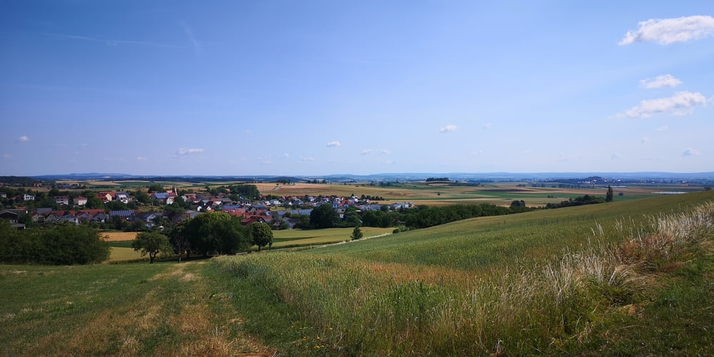
Seit 2022 gibt es den Ries-Panoramaweg der in 7 Tagesetappen von jeweils ca. 20km um den Ries-Kraterrand führt. Normalerweise ist es für Wanderer gedacht. Ich bin jede Etappe mit dem MTB gefahren und dann zum Ausgangspunkt zurückgefahren und dabei versucht viel befahrene Straßen zu meiden.
https://www.geopark-ries.de/wege/riespanoramaweg/
Man kann das Treckingbike nehmen. Am besten geht es jedoch mit dem MTB. Auf der Etappe 5 geht es von Kirchberg am Ries nach Utzmemingen.
Besonderheiten:
-
Langenberg
-
Goldberg
-
Naturschutzgebiet Kapf
-
Josefskapelle bei Utzmemingen
Zurück nach Kirchberg am Ries geht es meist flach auf Feldwegen durch das Ries.
Etappe 1: https://www.gps-tour.info/de/touren/detail.179600.html
Etappe 2: https://www.gps-tour.info/de/touren/detail.180969.html
Etappe 3: https://www.gps-tour.info/de/touren/detail.181118.html
Etappe 4: https://www.gps-tour.info/de/touren/detail.181193.html
Etappe 5: https://www.gps-tour.info/de/touren/detail.181251.html
Etappe 6: https://www.gps-tour.info/de/touren/detail.181056.html
Etappe 7: https://www.gps-tour.info/de/touren/detail.181023.html
Galleria itinerari
Mappa itinerario e altimetria
Commenti

Tracce GPS
Punti di traccia-
GPX / Garmin Map Source (gpx) download
-
TCX / Garmin Training Center® (tcx) download
-
CRS / Garmin Training Center® (crs) download
-
Google Earth (kml) download
-
G7ToWin (g7t) download
-
TTQV (trk) download
-
Overlay (ovl) download
-
Fugawi (txt) download
-
Kompass (DAV) Track (tk) download
-
Scheda tecnica (pdf) download
-
File originale dell'autore (gpx) download


