


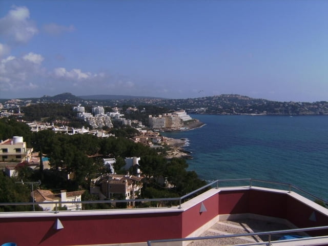
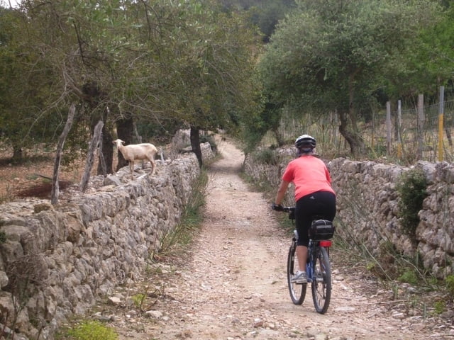
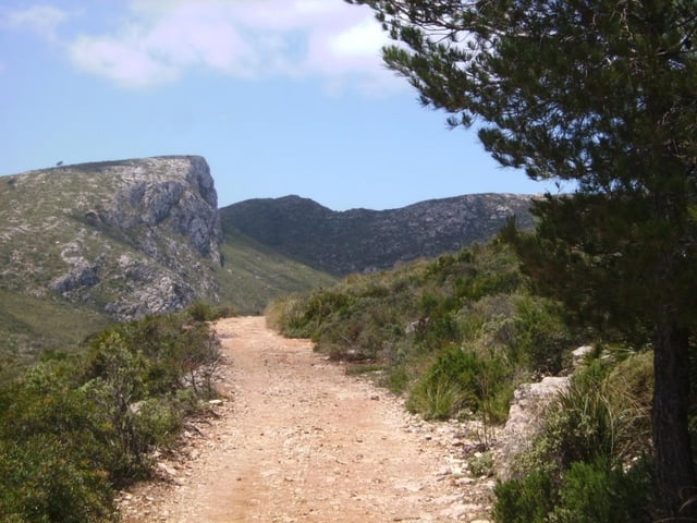
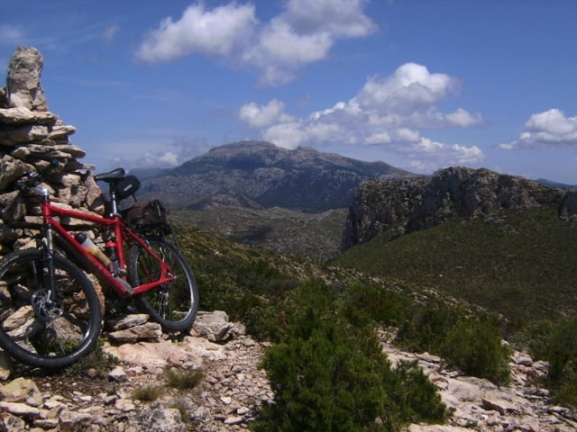
Die Tour beginnt beliebig an der Westküste, für mich in einer Ferienwohnung in Santa Ponca. Auf dem neuen Radweg neben der C 719 nach Peguera und zunächst auf der Straße Richtung Capdella. Bald nach links abzweigen auf Schotter und weiter auf Teerstraße nach Sa Coma. Hier scharf rechts einer schmalen, geteerte Straße durch ein einsames Tal folgen. Kurz vor dem Col de Sa Gremola erreicht man die C 710 (Andratx-Valldemossa). Am Sattel beim PP links ab ins Gelände. Beim nächsten Wegpunkt könnte man sich auf dem Weg rechts aufwärts halten, ich ließ mich durch einen neuen Weg, der aber in die richtige Richtung führte, zur kurzen Abfahrt und zur weiteren Auffahrt auf ihm verleiten. Er endete in weglosem Gelände. Ich erreichte aber mit Rad ca. 20 Min. schieben und teilweise tragen den Puig de sa Trappa, 466m. Herrliche Aussicht auf die Insel Sa Dragonera. Teilweise durch Gestrüpp in 1/4 Std. zum Weg Sant Elm - Sa Trappa. Auf ihm ins Tal und über S Arraco und Port d Andratx zurück nach Peguera und auf einer Abkürzung nach Santa Ponca.
Ulteriori informazioni sotto
http://hotelbahiadealcudia.com/Mallorca-Hotel/index.phpGalleria itinerari
Mappa itinerario e altimetria
Altezza minima 6 m
Altezza massima 465 m
Maggiori informazioni sull'autore del tour
|
|
herzi |
Commenti
Tracce GPS
Punti di traccia-
GPX / Garmin Map Source (gpx) download
-
TCX / Garmin Training Center® (tcx) download
-
CRS / Garmin Training Center® (crs) download
-
Google Earth (kml) download
-
G7ToWin (g7t) download
-
TTQV (trk) download
-
Overlay (ovl) download
-
Fugawi (txt) download
-
Kompass (DAV) Track (tk) download
-
Scheda tecnica (pdf) download
-
File originale dell'autore (gpx) download
Maggiori informazioni sull'autore del tour
|
|
herzi |
Aggiungi ai miei preferiti
Rimuovi dai miei preferiti
Modifica dei tag
Tour aperto
Il mio voto
Vota
Slecht!!!
I needed 2,5 hours to get down on a very bad terrain where no wheels can even touch the ground! It was a real disaster. I had at least 20 punctures in each tyre and had to walk since i had only one spare and not 20 extra fixes.
Walked all the way to Sant Elm qand was forced to order a taxi.
This route is on this point really UNACCEPTABLE AND DANGEROUS, even for a biker with 12 years of mtb experience.
Super Tour!!!
vielen Dank für das Einstellen und den Tipp beim Galatzo - die Strecke bin ich Dank des Hinweises umgangen.
Aber zu dieser Tour: sie hat sehr viel Spaß gemacht! Ich bin sie mit ein paar Varianten gefahren.
Von Pto d'Andtaitx aus mit ein paar Umwegen auf die Route, dann am Abzweig rechts, was allerdings auch in eine Schiebe/ Tragepassage führt und zu guter letzt von Sant Elm über den Mont Port nach Pto d' Andraitx.
Ich werde die Tour die Tage mal einstellen.
Und alle, die auf Mallorca mit dem MTB unterwegs sind: immer mindestens einen Ersatzschlauch mitnehmen und Flickzeug. Ist halt kein Stadtpark und macht daher irre viel Spaß!