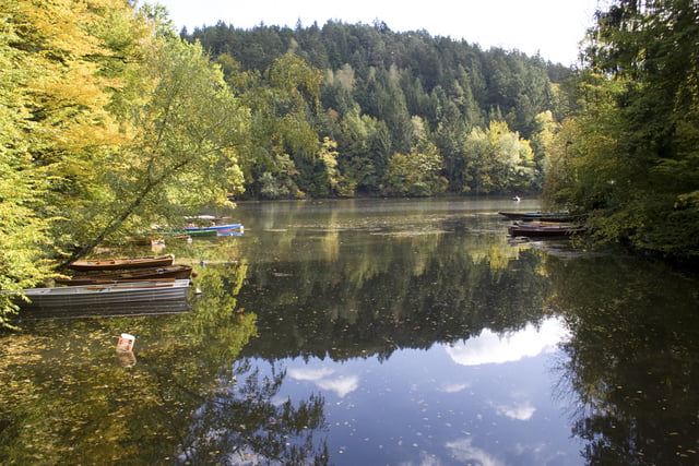
Eine Rundtour im ILZ Tal. Super Trails, sehr anspruchsvoll an Fahrtechnik und Kondition. Spaßfaktor garantiert! Achtung, ein kleiner Teil der Tour verbietet Biken!!!
Galleria itinerari
Mappa itinerario e altimetria
Altezza minima 278 m
Altezza massima 385 m
Commenti
Tracce GPS
Punti di traccia-
GPX / Garmin Map Source (gpx) download
-
TCX / Garmin Training Center® (tcx) download
-
CRS / Garmin Training Center® (crs) download
-
Google Earth (kml) download
-
G7ToWin (g7t) download
-
TTQV (trk) download
-
Overlay (ovl) download
-
Fugawi (txt) download
-
Kompass (DAV) Track (tk) download
-
Scheda tecnica (pdf) download
-
File originale dell'autore (gpx) download
Aggiungi ai miei preferiti
Rimuovi dai miei preferiti
Modifica dei tag
Tour aperto
Il mio voto
Vota


Ilz Tour
Nice
The round on the stuw is very good!
A lot of different surface and nature types, we loved it!