

De Tour start in de Commandeurstraat in mechelen.
Hierna gaan we linksaf de elzetterweg in bergop.
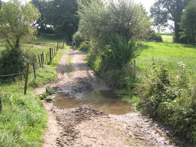
Daarna richting de beek die we oversteken.
Daarna gaat de tocht door paden in het elzetter/vijlenerbos.
Naar de grens in Gemmenich/belgie en vandaar uit doormiddel van 2 pittige klimmen naar het 3 landenpunt.
Daar maken wij eerst een ronde om bij de zwaarste klim in de regio uit te komen!
Hierna gaat de tocht verder over mooie paden en singletracks in het akenerbos en weer terug naar het 3 landenpunt,en vandaar weer door de bossen naar mechelen.
Er zit niet meer dan 10% asphalt in deze tocht.
The Tour starts in the commandeur street in Mechelen. Hereafter we go linksaf the elzetterweg in uphill. Afterwards direction the creek which we cross. Afterwards the excursion continues paths in the elzetter/vijlenerwood. To the border in Gemmenich/Belgium and hence of 2 spicy climb to 3 the country point. There we make a round firstly to end up at the heaviest klim in the region! Hereafter the excursion returns further concerning beautiful paths and singletracks in the akenerbos and to 3 the country point, and hence by the bunches to mechelen. There sits no longer than 10% tarmac in this excursion.
Die tour beginnt in der commandeur Straße in Mechelen. Nachher gehen wir links rein, der elzetterweg innen aufwärts. Danach Richtung der Nebenfluss, den wir kreuzen. Danach setzt die Exkursion Wege im elzetter/vijlenerwald fort. Zum Rand in Gemmenich/in Belgien und folglich 2 würzigen Aufstiegs bis 3 landeneck. Dort lassen wir einen Umlauf erstens am schwersten klim in der Region oben beenden! Nachher geht die Exkursion weiter hinsichtlich der schönen Wege und der singletracks in den aachenerwald und bis 3 der Landpunkt und durch die Bündel, um zurück folglich mechelen. Sitzt nicht mehr als der 10% Asphalt in dieser Exkursion.
Galleria itinerari


Mappa itinerario e altimetria
Altezza minima 107 m
Altezza massima 395 m
Maggiori informazioni sull'autore del tour
|
|
BertAusten |
Commenti

Commandeurstraat 6281 AM Mechelen
Als er geen plaats is kan men parkeren t.o. de brandweerkazerne op de Spetsesweide (vakantiepark)
Tracce GPS
Punti di traccia-
GPX / Garmin Map Source (gpx) download
-
TCX / Garmin Training Center® (tcx) download
-
CRS / Garmin Training Center® (crs) download
-
Google Earth (kml) download
-
G7ToWin (g7t) download
-
TTQV (trk) download
-
Overlay (ovl) download
-
Fugawi (txt) download
-
Kompass (DAV) Track (tk) download
-
Scheda tecnica (pdf) download
-
File originale dell'autore (gpx) download
Maggiori informazioni sull'autore del tour
|
|
BertAusten |
Aggiungi ai miei preferiti
Rimuovi dai miei preferiti
Modifica dei tag
Tour aperto
Il mio voto
Vota