


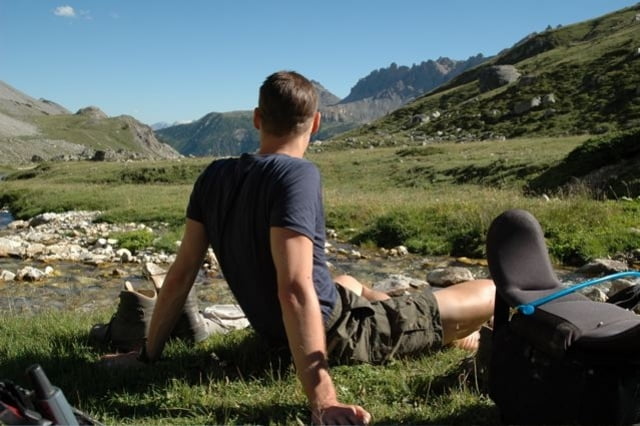
Dies ist eine GPS-Aufzeichnung meiner Wanderung auf dem Fernwanderweg GR5 und GR52 von Modane nach Menton an der Cote d'Azur.
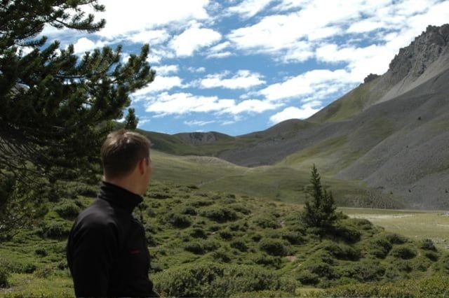
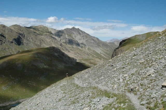
Insgesamt sind ca. 350 Kilometer und 20.000 Höhenmeter zu bewältigen. Es geht durch die Haute- und Mediterranen Alpen bis an die Küste. Der Weg ist sehr schön, sehr gut markiert (weisse und rote Streifen) und erfordert eine gute Kondition und Trittsicherheit.
Übernachtungen sind in Refugios oder Gite de Etapes möglich. Wer ein Zelt mitnimmt ist natürlich am flexibelsten, denn die Hütten und Hotels können in der Urlaubszeit schonmal komplett ausgebucht sein (ist mir zwei Mal passiert). Außerdem kann man auf der gesamten Strecke überall Zelten. Auch in den Nationalparks ist "Biwakieren" erlaubt (eine Übernachtung im Zelt von 19 Uhr Abends bis 9 Ihr morgens). Die Wasserversorgung ist erstklassig. Bis auf die letzten beiden Etappen kann man auf jeder Etappe alle paar Kilometer frisches Wasser aus Gebirgsbächen schöpfen. Es reicht also aus, 1-2 Liter Wasser mitzunehmen und dann nach Bedarf nachzufüllen.
Sehr gute Informationen zu diesem Fernwanderweg gibt es auf der Webseite grfive.com.
English description
This is a GPS track of my hike on the long distance hiking way GR5 and GR52 from Modane to Menton (Cote d'Azur). All in all it's around 350 kilometers and 20.000 meters ascend/descend through the Haute-Alpes and Alpes Mediterranes. The way is well marked by red and white stripes.
It's possible to sleep in Refuges and Gite de Etapes. If you take a tent with you, you're most flexible because the huts could be fully booked and you will find no place to sleep (happend to me two times). You're allowed to camp. Even in the national parks you're allowed to "biwak" in your tent for one night (between 7pm to 9am). Water-supply is excellent, except on the last two legs. You'll find water every few kilometers, so it's enough to take 1-2 liters with you and re-fill as needed.
You'll find very helpful information about the way on the web-site grfive.com
Ulteriori informazioni sotto
http://www.grfive.com/Galleria itinerari

Mappa itinerario e altimetria
Altezza minima 4 m
Altezza massima 2708 m
Maggiori informazioni sull'autore del tour

|
Commenti

Modane ist gut mit dem Zug zu erreichen - z.B. von Turin oder Nizza aus (Flughafen). Von Turin beträgt die Anreisezeit ca. 1.5 Stunden mit dem Zug. Züge fahren sehr regelmäßig. Fahrplan und Preise am besten bei der Touristen-Info vor Ort erfragen.
You can get to Modane by train. From Turin (Torino) it's around 1.5 hours by train, from Nice you need around 5 hours by train to Modane. Trains are driving regularly.
Tracce GPS
Punti di traccia-
GPX / Garmin Map Source (gpx) download
-
TCX / Garmin Training Center® (tcx) download
-
CRS / Garmin Training Center® (crs) download
-
Google Earth (kml) download
-
G7ToWin (g7t) download
-
TTQV (trk) download
-
Overlay (ovl) download
-
Fugawi (txt) download
-
Kompass (DAV) Track (tk) download
-
Scheda tecnica (pdf) download
-
File originale dell'autore (gpx) download
Maggiori informazioni sull'autore del tour
|
|
Aggiungi ai miei preferiti
Rimuovi dai miei preferiti
Modifica dei tag
Tour aperto
Il mio voto
Vota